What is recorded here
Fairy fort in Garrane, County Cork: a circular earthen enclosure on a west-facing slope above the sea, marked on the 1842 Ordnance Survey map but now levelled without surface trace. It may have been a boundary marker, a shelter, a meeting place or a child’s idea of a castle; the land kept the shape long enough for surveyors to draw it, then took it back.
In pasture, on W-facing slope, overlooking sea to S. Marked as circular enclosure on OS 6-inch map (1842). Levelled; no surface indication.
The above description is derived from the published 'Archaeological Inventory of County Cork. Volume 1: West Cork' (Dublin: Stationery Office, 1992). In certain instances the entries have been revised and updated in the light of recent research.
Date of upload/revision: 14 January 2009
The monument record does not grant public access. Check the route and ask the landowner before entering private land.
- What survives
- Recorded monument
Places near here
 Man-made underground passage in BohonaghMan-made underground passage · 753 yd
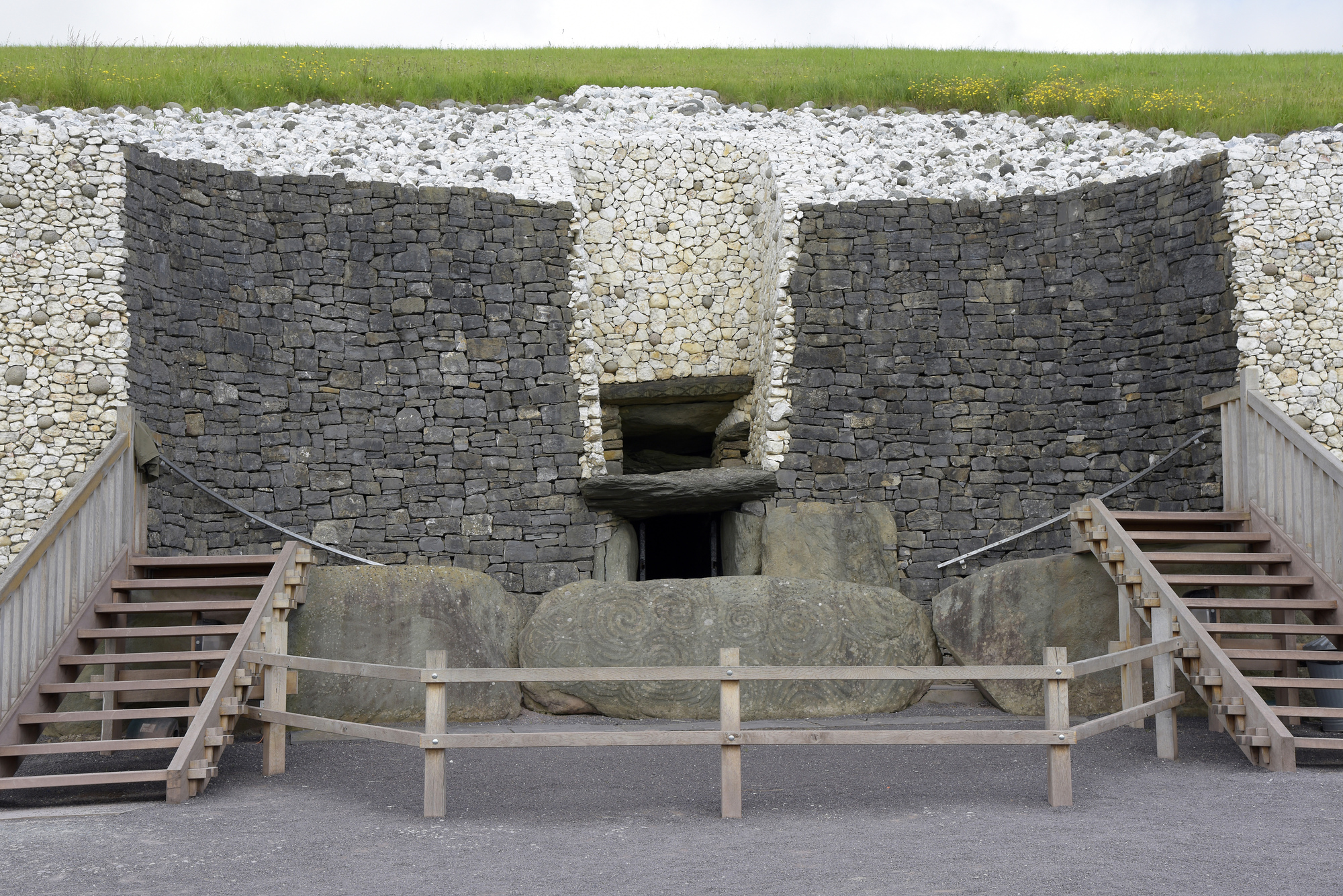 Megalithic structure in FreahanesMegalithic structure · 839 yd
 Rathbarryfarm house · 1282 yd
 Templefachtna (in Ruins)Church · 1.0 mi
 Castle Freke WoodsForest · 1.6 mi
 Chilean myrtleChilean myrtle · 1.7 mi
 Ownahincha Strand (West)Beach / strand · 1.8 mi
 Michael Collins MemorialMemorial · 1.8 mi
 Michael Collins BirthplaceHistoric birthplace · 1.9 mi
 Little Island StrandBeach / strand · 1.9 mi
 Bawn in CastlefrekeBawn · 2.0 mi
 Cottage MuseumMuseum · 2.1 mi