What is recorded here
Fairy fort in Garran Itra, County Monaghan: an earthen ringfort on a gentle east-facing knoll, with a small west-east stream curving south around it a hundred to two hundred metres away and the Cor River running north-south two hundred metres to the east. The 1858 revision of the 1834 Ordnance Survey six-inch map marked it as the site of a fort, while pasture now holds only slight undulations. People may have lived there, fled there, or forgotten it; the land kept the shape of a choice made under pressure.
Situated on a knoll on a gentle E-facing slope with a small W-E stream curving S around it c. 100-200m distant and there is a S-N section of the Cor River c. 200m to the E. This location is marked only on a revision of the 1834 edition of the OS 6-inch map dated 1858 where it is described as ‘Site of fort’. Slight undulations are visible at ground level in pasture
The above description is derived from the published 'Archaeological Inventory of County Monaghan' (Dublin: Stationery Office, 1986). In certain instances the entries have been revised and updated in the light of recent research.
Date of revision: 26 January 2018
The monument record does not grant public access. Check the route and ask the landowner before entering private land.
- What survives
- Recorded monument
Places near here
 IndicatedCrannog · 1153 yd
 Tiravray fortFairy fort / earthen ringfort · 1.0 mi
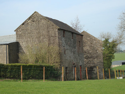 Dromore Corn Millmill (water) · 1.1 mi
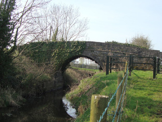 Leitrim Bridgebridge · 1.1 mi
 Castleshane WaterfallWaterfall · 1.9 mi
 Caldwells' WoodWood · 2.3 mi
 Liscarney WoodWood · 2.5 mi
 Battle of ClontibretBattlefield · 3.4 mi
 Monaghan County MuseumMuseum · 3.9 mi
 Rossmore MonumentMemorial · 4.0 mi
 Bawn in Roosky (monaghan By., Monaghan Par.)Bawn · 4.0 mi
 Harry LaveryMemorial · 4.7 mi