What is recorded here
Fairy forts in Galway wear earthen rings, but this Garracloon rath measured thirty-five metres across and held two banks with a fosse between them. It stood in level grassland near Tuam until bulldozers erased the marker entirely. The site is gone, yet the shape remains memorable because it was large enough to enter, defend, or inhabit before human hands flattened it into ordinary field.
In level grassland near NW limits of Tuam town (GA029-199----). When originally visited in March 1985, this circular rath (D c. 35m) was defined by two banks and an intervening fosse. It was subsequently levelled by bulldozing and no visible surface trace survives.
The above description is derived from the published 'Archaeological Inventory of County Galway Vol. II - North Galway'. Compiled by Olive Alcock, Kathy de hÓra and Paul Gosling (Dublin: Stationery Office, 1999).
Date of upload: 05 August 2010
The monument record does not grant public access. Check the route and ask the landowner before entering private land.
- What survives
- Recorded monument
Places near here
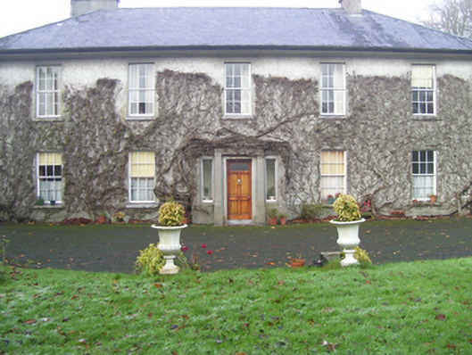 Prospect Househouse · 1015 yd
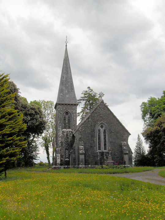 Priests WellHoly well · 1056 yd
 IndicatedEnclosure · 1063 yd
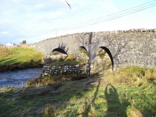 Weir Bridgebridge · 1152 yd
 CastleCastle, unclassified · 1375 yd
 European ashEuropean ash · 1.6 mi
 Mass RockNamed rock · 2.9 mi
 Castle (in ruins)Castle, tower house · 4.1 mi
 KnockmaaWood · 5.1 mi
 Kilcoona Round TowerHeritage attraction · 8.9 mi
 Ballinduff BayBay · 11 mi
 Oileán an AoilIsland · 13 mi