What is recorded here
Gardenfield East, County Limerick: a 30-metre ringfort, levelled around 1980 but still readable as a narrow fosse curving through pasture. That sudden flattening feels like a fist closing on a living thing, yet the ditch refused to disappear entirely. Perhaps people walked that circle for centuries before plows erased the bank, and the hole remains because memory runs deeper than soil.
In undulating pasture. Monument, depicted as embanked circular enclosure (diam. c. 30m) on 1923 OS 6-inch map, has been levelled. However, it is now evident as fosse (D 0.95; Wth 2m), best preserved SE->SW, enclosing roughly circular area (30m N-S; 34m E-W). According to local information enclosing element consisted of a low earthen bank with an external fosse, before being levelled c. 1980. A low rise, running E-W immediately S of enclosure, is remains of a field boundary depicted on 1923 OS 6-inch map.
Compiled by: Denis Power
Date of upload: 26 August 2011
The monument record does not grant public access. Check the route and ask the landowner before entering private land.
- What survives
- Recorded monument
Places near here
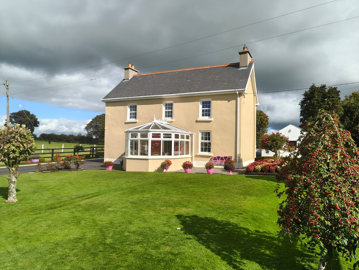 Enclosure in Gardenfield EastEnclosure · 441 yd
 ToberacappeenSpring · 733 yd
 CastleCastle, unclassified · 759 yd
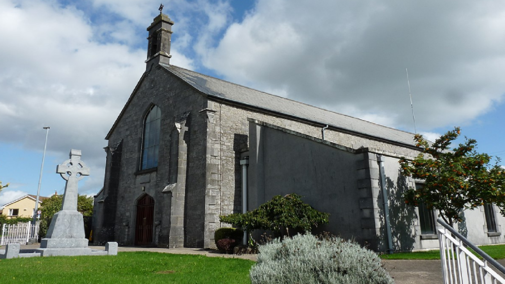 Cloncrew Church (in ruins)Church · 1218 yd
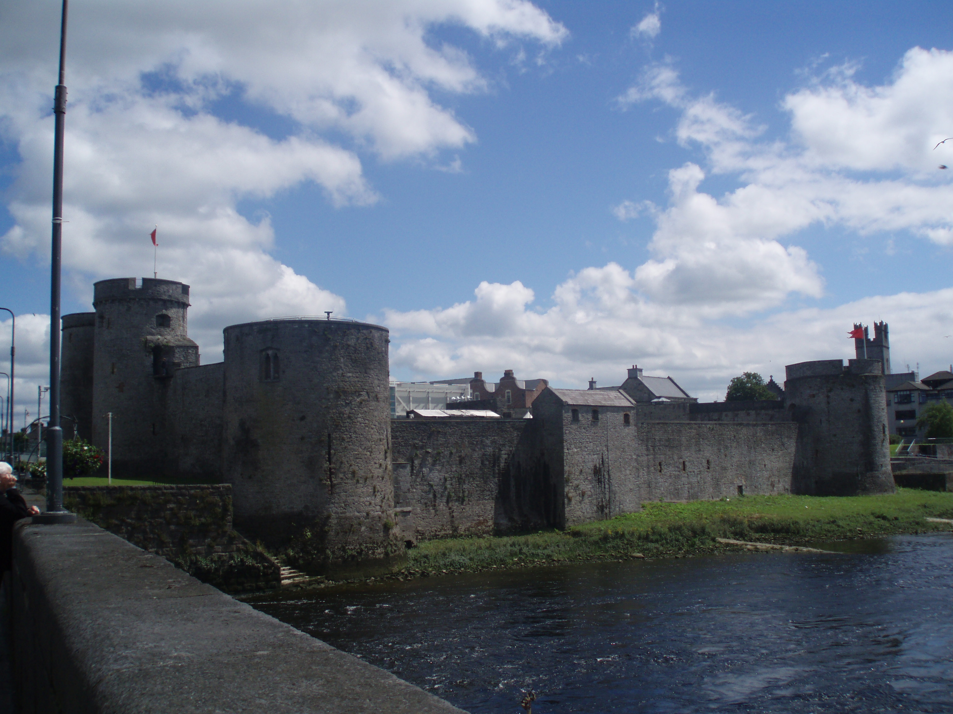 Cloncrew Fort - HachuredFairy fort / earthen ringfort · 1245 yd
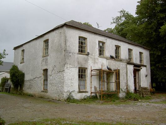 Hardingville Housecountry house · 1.4 mi
 National Co-op MuseumMuseum · 1.6 mi
 ToberhoranSpring · 2.3 mi
 Castle (in Ruins)Castle, Anglo-Norman masonry castle · 2.4 mi
 Mullaghareirk - Banane LoopWalking route · 7.5 mi
 Battle of LiscarrollMajor battlefield · 7.8 mi
 Ballagh MountainMountain / peak · 8.0 mi