What is recorded here
On a low rise of ground in gently undulating pasture. Gallstown church (WM033-072----) and graveyard (WM033-072001-) located 465m to the W. Raised roughly circular area (diam. 33m N-S; 29.5m E-W) enclosed by an earthen bank mainly reduced to a scarp and wide shallow external fosse visible from SE-S-W-N. No entrance feature visible. A rectangular silage pit (Wth 12.5m; D 1m) has been constructed in the E quadrant of the ringfort that has resulted in the destruction of the E side of the monument. The exposed section of the ringfort interior, revealed by the construction of the silage pit show that the interior of the monument has been artificially raised above the level of the pre-ringfort ground level.
Compiled by: Caimin O'Brien
Date of upload: 24 July 2013
The monument record does not grant public access. Check the route and ask the landowner before entering private land.
- What survives
- Recorded monument
Places near here
 Church (in Ruins)Church · 549 yd
 milestone/milepostmilestone/milepost · 694 yd
 OutlinedCastle, motte · 705 yd
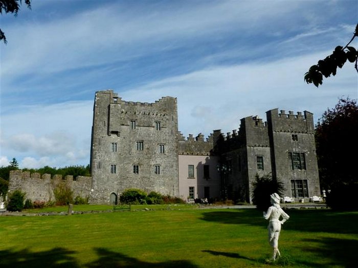 CastleCastle, unclassified · 1650 yd
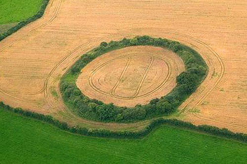 Fairy fort / earthen ringfort in GortumlyFairy fort / earthen ringfort · 1.3 mi
 St. Bridgets WellHoly well · 2.0 mi
 Derrygreenagh HillMountain / peak · 3.0 mi
 Knockdrin HillMountain / peak · 3.5 mi
 Mollie Moo's Pet FarmHeritage attraction · 4.9 mi
 Blind IslandIslet · 5.6 mi
 Roundhill WoodForest · 8.8 mi
 Rahin WoodsForest · 9.3 mi