What is recorded here
Marianne and the fairies fought for the fort. She threw dirt at them, they threw dirt back, and the oval shape emerged from the chaos. Cavan soil still remembers that argument because human anger and fairy pride both refused to leave the glebe.
Raised roughly oval area (int. dims. 44.5m N-S; 39.6m E-W) enclosed by a substantial earthen bank and a fosse, slight traces of which are visible at NE and which has been replaced by a modern trench from ENE-SSE. Break in bank at SSE represents original entrance.
The above description is derived from the published 'Archaeological Inventory of County Cavan' (Dublin: Stationery Office, 1995). In certain instances the entries have been revised and updated in the light of recent research.
Date of upload/revision: 22 December 2008
The monument record does not grant public access. Check the route and ask the landowner before entering private land.
- What survives
- Recorded monument
Places near here
 IndicatedEnclosure · 1482 yd
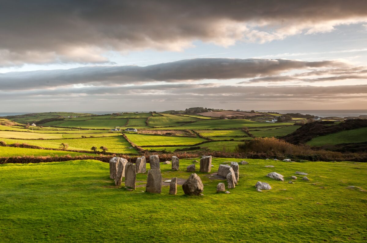 Stone CircleArchaeological place · 1661 yd
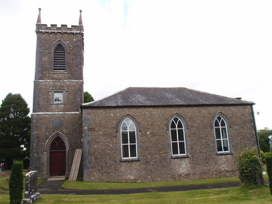 Denn Churchchurch/chapel · 1.0 mi
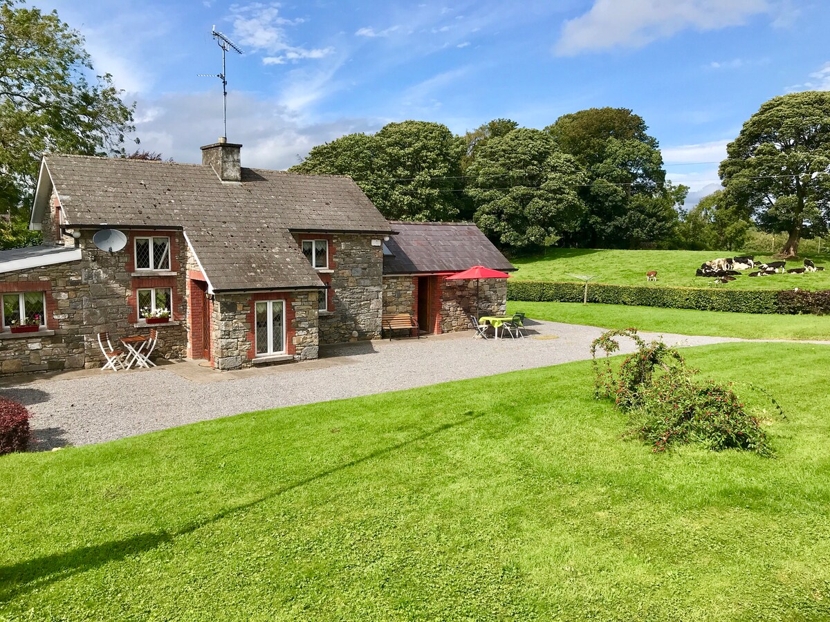 Dennmore or LeggandennMountain / peak · 1.3 mi
 Aghalackan EastMountain / peak · 1.3 mi
 Carricknagore RockNamed rock · 1.4 mi
 Bawn in MoynehallBawn · 2.1 mi
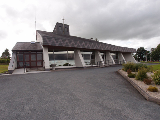 St Dymphna's Roman Catholic Churchchurch/chapel · 2.1 mi
 Ardvarny ForestForest · 2.4 mi
 Ardkill ForestForest · 2.5 mi
 Ancient Order of Hibernians MemorialMemorial · 2.5 mi
 Owen Roe O'Neill graveMemorial · 3.4 mi