
What is recorded here
Situated on a NW-facing slope. This is depicted only on the 1836 edition of the OS 6-inch map as a circular scrub-covered enclosure. It is also visible on Digital Globe imagery (c. 2013) as a circular grass-covered area (diam. c. 23-25m) defined by what might be a slight scarp or fosse (Wth c. 5m). It was first reported by Anne-Karoline Distel.
See the attached view from Digital Globe
Compiled by: Michael Moore
Date of upload: 7 December 2022
A local fairy fort (ringfort/rath); wider significance not recorded.
The monument record does not grant public access. Check the route and ask the landowner before entering private land.
- What survives
- Recorded monument
Places near here
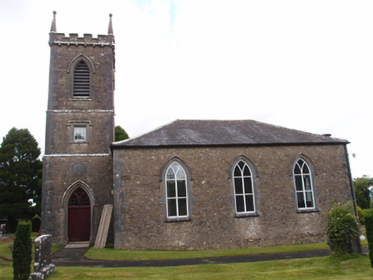 Denn Churchchurch/chapel · 351 yd
 Fairy fort / earthen ringfort in Denn GlebeFairy fort / earthen ringfort · 585 yd
 RyefortArchaeological place · 776 yd
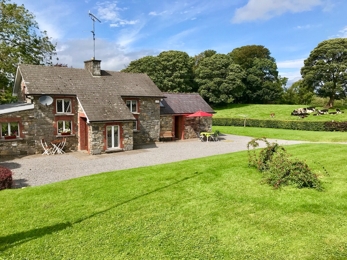 Dennmore or LeggandennMountain / peak · 779 yd
 Carricknagore RockNamed rock · 1.5 mi
 Ardkill ForestForest · 1.7 mi
 Ardkill MoreMountain / peak · 1.8 mi
 Derry ForestForest · 1.9 mi
 Bawn in MoynehallBawn · 2.6 mi
 Giant's GraveArchaeological place · 2.7 mi
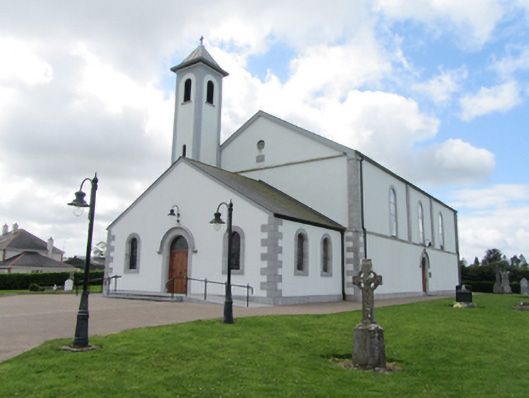 St Matthew's Roman Catholic Churchchurch/chapel · 2.8 mi
 Ancient Order of Hibernians MemorialMemorial · 3.0 mi
Other information
Photo: Credit not shown in the picture search · Rights wording not checked; contact us if this picture should be removed