What is recorded here
Fairy fort in Gallid, County Longford: a 29-by-28m raised ring on an east-facing shelf, closed partly by earth-and-stone bank and partly by scarp, with a shallow southern fosse and no visible entrance. The name suggests people once refused to explain it, while the shape suggests they knew exactly what it was for: a small defensible place where life could be led, watched and remembered.
On a shelf on an E-facing slope. A raised almost circular area (29m N-S; 28m E-W) enclosed from W-NW-N and from SSE-S-SW by a low bank of earth and stone (Wth 4-6.1m; H 0.45-0.9m) and elsewhere defined by a scarp (H 0.4-1m). At the base of the bank at S there is a shallow fosse (Wth 3.8m; D 0.4m). The original entrance is not recognisable. A possible house site (LF010-021002-) lies within the NE quadrant of the interior.
Compiled by: Patrick F. O'Donovan
Date of upload: 11 January 2012
The monument record does not grant public access. Check the route and ask the landowner before entering private land.
- What survives
- Recorded monument
Places near here
 TobergownaHoly well · 1285 yd
 Dunclá or Black Pigs RaceArchaeological place · 1328 yd
 Church in Clogh (granard By.)Church · 1337 yd
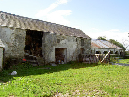 Dalystown Houseoutbuilding · 1.0 mi
 1798 Monumentmonument · 1.4 mi
 Granard MotteMotte-and-bailey castle remains · 1.4 mi
 CastleCastle, unclassified · 1.4 mi
 Moat of GranardCastle, motte and bailey · 1.4 mi
 Derrycassan WoodsWood · 2.6 mi
 InchmoreIslet · 2.8 mi
 CartronfreeMountain / peak · 2.9 mi
 Cloonfin WoodForest · 3.2 mi