What is recorded here
No fairy ever touched the Galleastown fort, though people wanted to believe it. A human hand cut the ditch, raised the bank and laid out the small rectangular house at the centre. The fairies entered later, as they do everywhere the truth thins: they populate the parts people stop understanding. The chamber is ordinary. The chamber is also a door.
Situated on a shelf towards the bottom of the NE-facing slope of a hill. This is a circular grass-covered area (diam. 30m N-S; 28m E-W) defined by a slight earthen bank (at WSW: Wth of base 4m; int. H 0.2m; ext. H 1.6m) that is largely reduced to a scarp (at ENE: Wth 2.5m; H 1.6m) and hedge. It is separated by a fosse (Wth of top 4.7-6m; Wth of base 1-1.4m; ext. D 0.6m) from an outer bank (Wth of base 3m; ext. H 0.3-0.4m). The entrance through the inner bank (Wth of base 1.7) and causeway (Wth of top 2.4m; H 0.4m) is at S. There is a rectangular house site at the centre visible as a rectangular, grass-covered sunken area (int. dims c. 7m E-W; 2m N-S; D 0.4-0.8m) defined by earthen banks (Wth of base 3-4.5m; ext. H 0.2-0.6m) with possible entrances in the short E and W walls. Attached to the rath at NE is a small D-shaped annexe visible as a raised grass-covered area (dims 14.5m NE-SW; c. 11m NW-SE) defined by a scarp (at NE: Wth 2.3m; H 0.9m).
The above description is derived from the published 'Archaeological Inventory of County Meath' (Dublin: Stationery Office, 1987). In certain instances the entries have been revised and updated in the light of recent research.
Compiled by: Michael Moore
Date of revision: 8 January 2019
The monument record does not grant public access. Check the route and ask the landowner before entering private land.
- What survives
- Recorded monument
Places near here
 Enclosure in GalleastownEnclosure · 29 yd
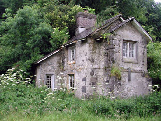 Loughcrew Housegate lodge · 706 yd
 Enclosure in LoughcrewEnclosure · 711 yd
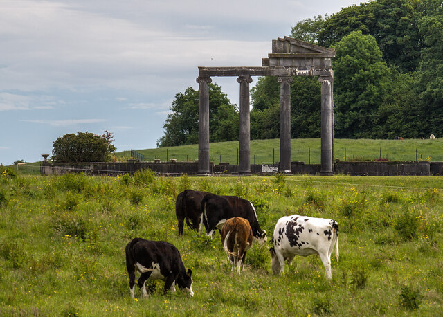 Loughcrew House porticoRuins · 1.2 mi
 Slieve GullionMountain / peak · 1.4 mi
 Moat of DiamorCastle, motte and bailey · 1.5 mi
 Slieve Na CalliaghMountain / peak · 1.5 mi
 LoughcrewMegalithic tomb cemetery · 1.6 mi
 Common LimeCommon Lime · 1.6 mi
 Loughcrew Megalithic TombsHeritage attraction · 1.6 mi
 European YewEuropean Yew · 1.6 mi
 C11Named rock · 1.7 mi