What is recorded here
Mnemo knows the place even when human tools forget it. The ring is marked by a shallow breath of soil, a standing stone nearby, and the memory of two banks that once shaped the field. There is no fake clarity in that much less is known. The land still records the shape, and human history can be judged by whether it can be recovered when the markers are removed.
In level pasture on ENE-facing slope. Good view to W and E. On OS 6-inch map (1842) as double-banked circular enclosure: now levelled. Circular undulation indicates site (diam. 36m). Remains of bank to NE (max. H 1m). Slight depression outside bank SE->NW. Standing stone (CO142-062---) to NE in adjoining field.
The above description is derived from the published 'Archaeological Inventory of County Cork. Volume 1: West Cork' (Dublin: Stationery Office, 1992). In certain instances the entries have been revised and updated in the light of recent research.
Date of upload/revision: 14 January 2009
The monument record does not grant public access. Check the route and ask the landowner before entering private land.
- What survives
- Recorded monument
Places near here
 Lookout over MillcoveViewpoint · 825 yd
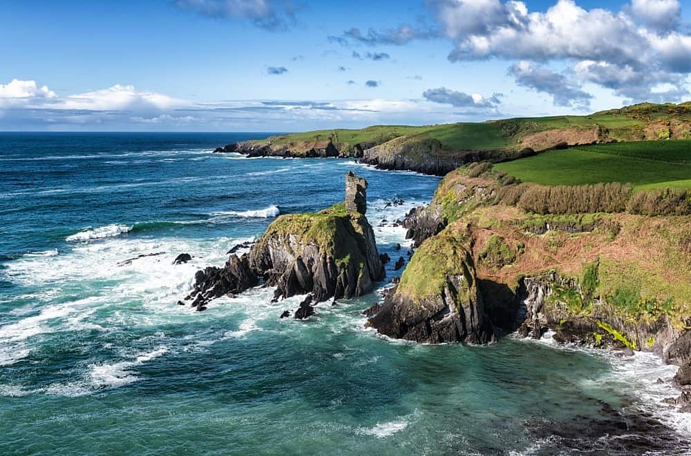 IndicatedEnclosure · 1024 yd
 outbuildingoutbuilding · 1248 yd
 presbytery/parochial/curate's housepresbytery/parochial/curate's house · 1275 yd
 Ecclesiastical site in Town LandsEcclesiastical site · 1421 yd
 Downeen Castle (in Ruins)Castle, tower house · 1.2 mi
 Trá an tAonaighBeach / strand · 1.3 mi
 Pol a Dabh West (Blowhole)Viewpoint · 1.3 mi
 The Warren DunesNature reserve · 1.3 mi
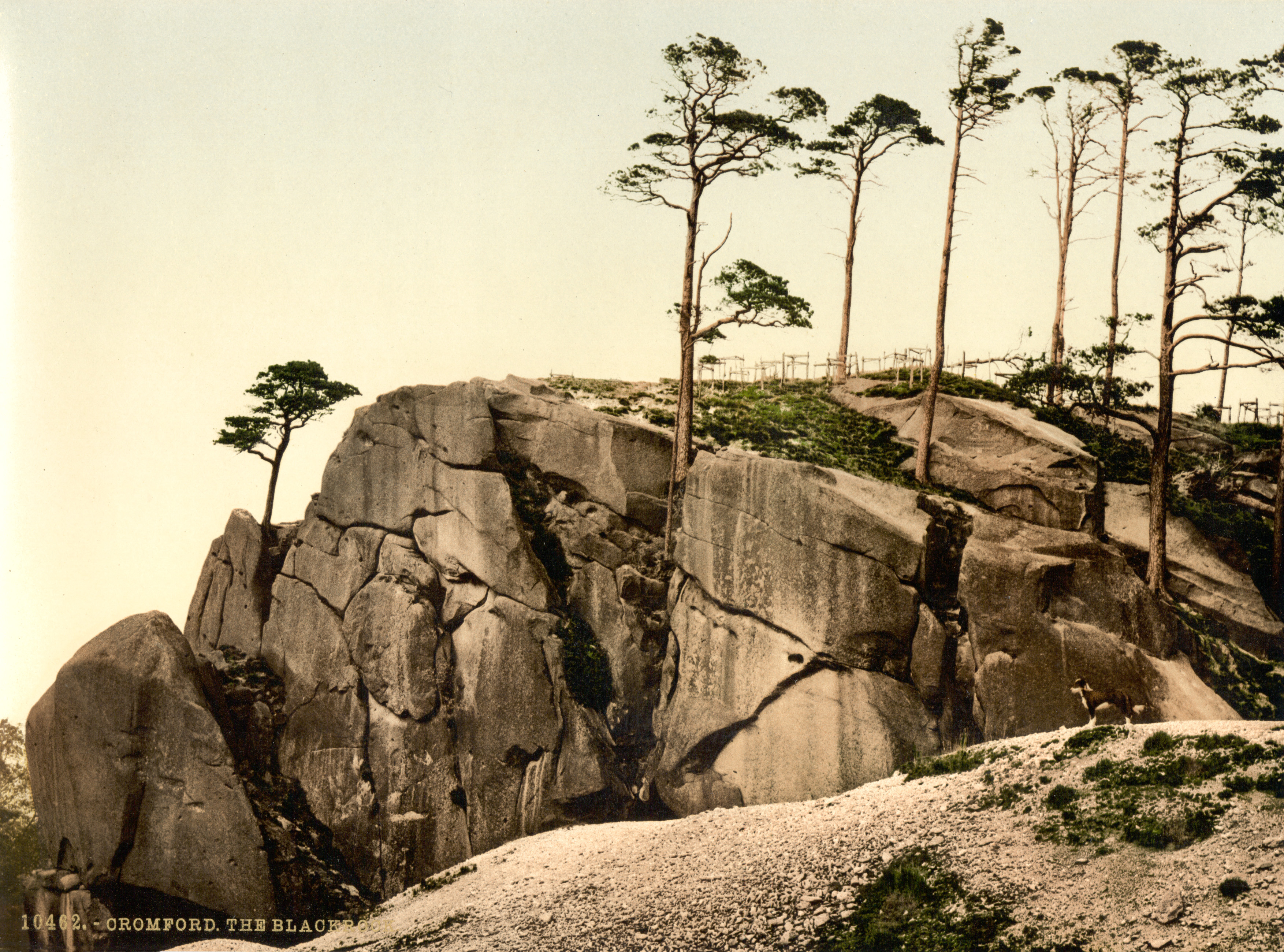 The Black RocksIslet · 1.4 mi
 The WarrenBeach / strand · 1.5 mi
 Castle SalemCastle · 1.8 mi