What is recorded here
Visible as a feature on aerial photographs (GSIAP: M 221-2), and situated in a broad, flat-bottomed NW-SE valley. Circular grass-covered area (diam. 26.6m N-S; 24.7m E-W) defined by an overgrown earthen bank (Wth 3.8-4.9m; int. H 0.3-1.2m; ext. H 1.1-1.5m) and an outer fosse (Wth of top 3.4-5m; Wth of base 0.8-1.7m; D 0.2-0.3m) NW-E-SW, but a N-S drain has destroyed the perimeter elsewhere. There are entrances at NNE (Wth 1.6m) and S (Wth 1.8m). Earthwork (RO042-104----) is c. 115m to the SSE, and the castle (RO042-102001-) is c. 105m to the NW.
Compiled by: Michael Moore
Date of upload: 24 August 2010
The monument record does not grant public access. Check the route and ask the landowner before entering private land.
- What survives
- Recorded monument
Places near here
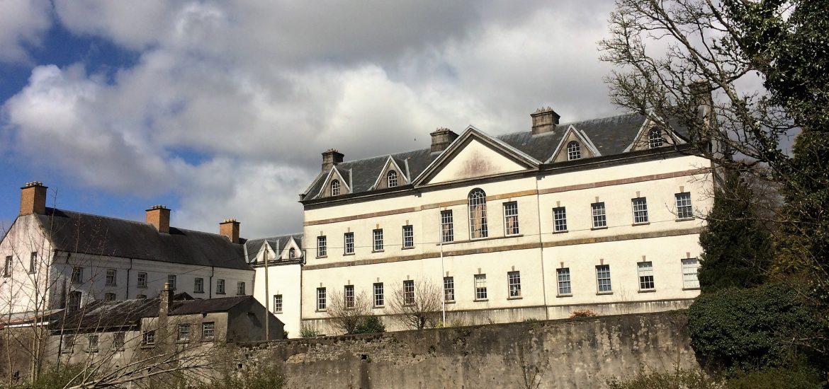 IndicatedCastle, unclassified · 134 yd
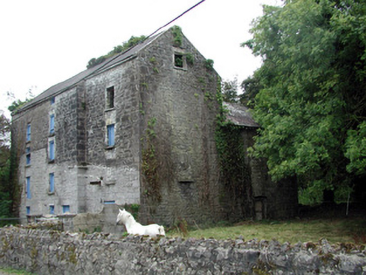 Lecarrow Millmill (water) · 1303 yd
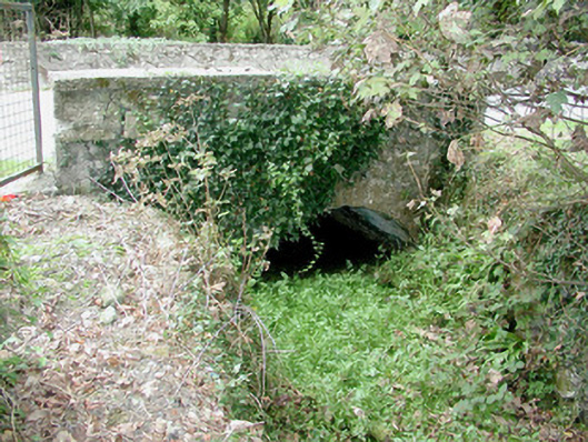 bridgebridge · 1321 yd
 St. Johns WellHoly well · 1594 yd
 Embanked enclosureFairy fort / earthen ringfort · 1.0 mi
 CastleCastle, tower house · 1.5 mi
 Blackbrink BayBay · 1.8 mi
 Galey BayBay · 2.0 mi
 Hangman's HillMountain / peak · 2.2 mi
 St. John's WoodWood · 2.6 mi
 InchmoreIslet · 2.7 mi
 Dogs IslandIslet · 2.8 mi