What is recorded here
Half a metre of grass and soil, no more, yet the land holds its shape like a breath caught mid-sentence. A ring of earth, wide enough to walk inside but shallow enough to step across, sits on a quiet rise in Galboystown. The quarry at its edge suggests people took stone from the fort itself, perhaps building something else nearby or strengthening the bank when rain threatened. It is the kind of place that stops being visible not through destruction but through patience, grass growing back over the line until the fort becomes a rumour in the ground.
Situated on a rise in a gently undulating landscape. It is depicted only on the 1912 edition of the OS 6-inch map as a hachured feature. This is a circular grass-covered and slightly domed (H 0.3-0.5m) area (diam. 20.5m WNW-ESE; 18m NNW-SSE) defined by the lip of an earthen bank (Wth of base 5-6.7m; int. H 0.1m; ext. H 0.8-1m). There is no visible fosse or entrance but there is a grass-covered quarry on the perimeter at NE. Its visible profile may have eroded away by 2005 (OSAP).
The above description is derived from the published 'Archaeological Inventory of County Meath' (Dublin: Stationery Office, 1987). In certain instances the entries have been revised and updated in the light of recent research.
Compiled by: Michael Moore
Date of revision: 27 February 2019
The monument record does not grant public access. Check the route and ask the landowner before entering private land.
- What survives
- Recorded monument
Places near here
 Enclosure in Shanco (fore By.)Enclosure · 1120 yd
 European ashEuropean ash · 1221 yd
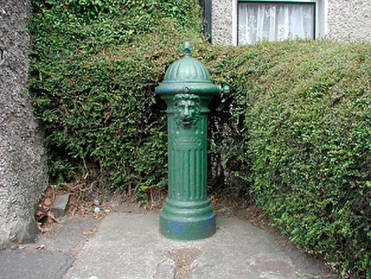 water pumpwater pump · 1.0 mi
 Church (in Ruins)Church · 1.1 mi
 MoatCastle, motte and bailey · 1.1 mi
 CastleCastle, unclassified · 1.1 mi
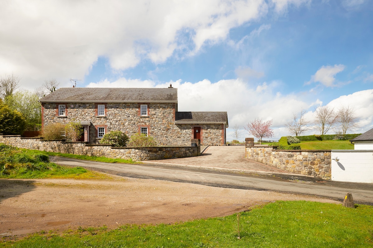 Enclosure in BoherardEnclosure · 1.3 mi
 Bradley's WoodWood · 2.6 mi
 Drewstown LittleMountain / peak · 3.3 mi
 Kells HillMountain / peak · 3.4 mi
 BoglandMemorial · 4.6 mi
 Causey FarmHeritage attraction · 4.8 mi