What is recorded here
Local tradition claims a hidden passage and external ditch, but the visible oval bank remains the clearest marker of human presence. That much larger shape suggests the site resisted simple domestic use and may have served ceremony, exclusion or memory. The dumped stones and rough ground preserve the risk of misreading, yet the deliberate boundary still separates Gaggan from ordinary field.
In rough grazing, on E-facing slope. Oval area (35m NNE-SSW; 21.4m WNW-ESE) enclosed by earth and stone bank (H 1.1m). Interior surface rough due to dumped field clearance stones. Local tradition of external fosse and Man-made underground passage (CO110-04102-) in interior.
The above description is derived from the published 'Archaeological Inventory of County Cork. Volume 1: West Cork' (Dublin: Stationery Office, 1992). In certain instances the entries have been revised and updated in the light of recent research.
Date of upload/revision: 14 January 2009
The monument record does not grant public access. Check the route and ask the landowner before entering private land.
- What survives
- Recorded monument
Places near here
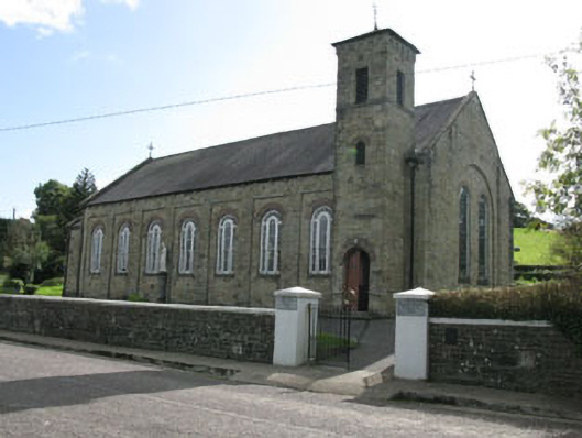 Lady Chapel Roman Catholic Churchchurch/chapel · 600 yd
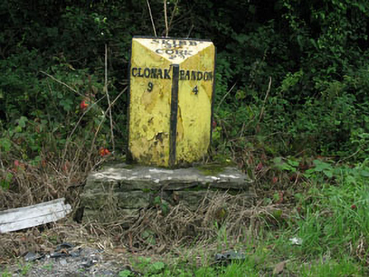 milestone/milepostmilestone/milepost · 636 yd
 Pit-burial in KillountainPit-burial · 1.1 mi
 Enclosure in Cashel MoreEnclosure · 1.3 mi
 Cottage Road WoodWood · 1.9 mi
 Tobar MacloonaboySpring · 2.1 mi
 Monteen Castle (in Ruins)Castle, tower house · 3.7 mi
 English hollyEnglish holly · 3.8 mi
 Graveyard in KilmalodaGraveyard · 3.9 mi
 Bandon War MemorialMemorial · 3.9 mi
 Carbury's WellSpring · 4.3 mi
 Burrane Castle (Site of)Castle, unclassified · 4.5 mi