What is recorded here
A thirty-two-metre earthen circle sits on a gentle rise in Gafney Little, its shallow ditch still visible after centuries of rain and plough. The nearby ridge of Bellewstown watches the valley like a silent guard, while a small stream curves south to carry away whatever the land forgets. M. Doutré saw the shape from New Zealand in 2013, but the earth itself has kept its own secret much longer.
First identified by M. Doutré from New Zealand on Google Earth (2013), it is also visible on Bing images (2013) and faintly on the OSI series (1995). This site is situated on a rise in a slight E-W valley with a small canalised stream c. 145m to the S. The ridge of Bellewstown, which is c. 100m higher, rises over the site c. 800m to the S. This is a circular area (diam. c. 32m) defined by a single fosse feature. An entrance cannot be identified but the full extent of the perimeter is not visible on any of the images, particularly N-SE and S-WNW. The arc of an internal ring-ditch (diam. c. 10m) is visible NW-E-SE in the S part of the interior only on the Google image. The rath (ME027-100----) is c. 180m further along the valley to the W and ring-ditch (ME027-055----) is on a slight E-W ridge c. 165m to the NW.
Compiled by: Michael Moore
Date of upload: 23 July, 2014
The monument record does not grant public access. Check the route and ask the landowner before entering private land.
- What survives
- Recorded monument
Places near here
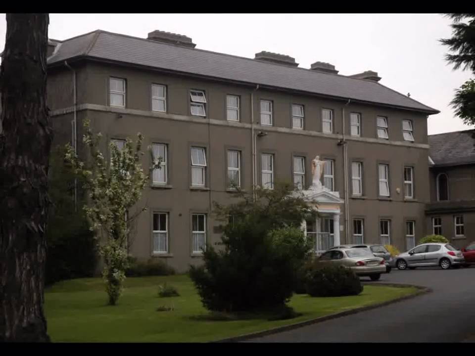 Enclosure in Beaumont (duleek Upper By.)Enclosure · 682 yd
 Religious houseReligious house, Augustinian canons · 924 yd
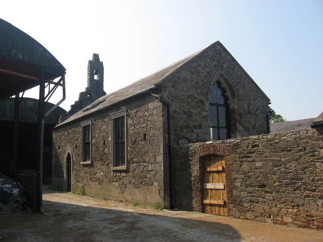 IndicatedChurch · 981 yd
 CastleCastle, unclassified · 1015 yd
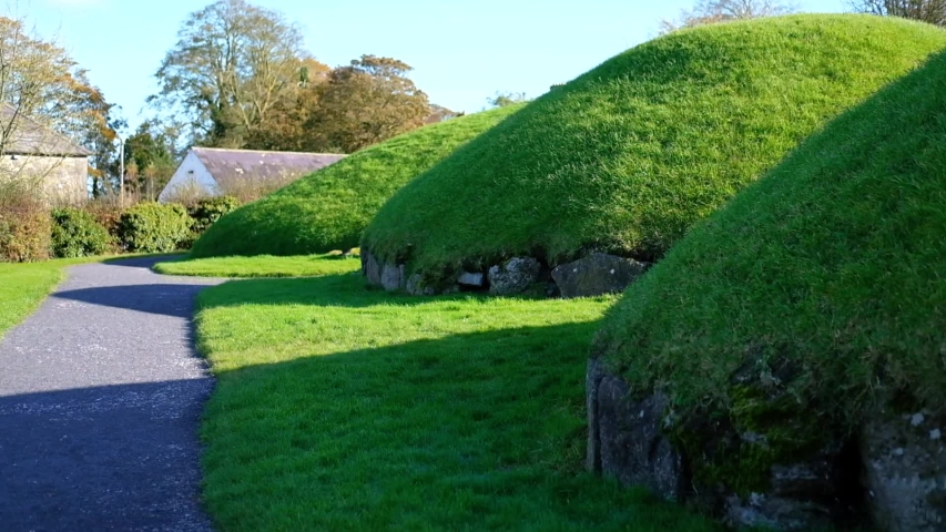 Enclosure in Newhaggard (duleek Upper)Enclosure · 1542 yd
 Common LimeCommon Lime · 2.1 mi
 Platin HouseCastle, unclassified · 2.3 mi
 Newgrange Business ParkMemorial · 3.2 mi
 Battle of Julianstownbattle · 3.6 mi
 Glenmore ForestWood · 3.9 mi
 Brú na Bóinne Visitor Centre AccessHeritage attraction · 4.1 mi
 Brú na Bóinne Visitors CentreVisitor information · 4.2 mi