What is recorded here
Monument surveyed by ASI in 1971 and described as following; 'An approx. circular slightly uneven enclosure (diam. 38.8m N-S; 35.6m E-W) bounded by a high steep scarp with very slight remains of an earthen bank on its upper edge and with very slight remains of a fosse at its foot. The fosse is visible (but barely so) from E-S and from W-NNW. The scarp is broken down by cattle in places. A later field bank skirts the site, partly covering the site of the fosse on the W. A gap (Wth 3.3m) on the ESE may represent the entrance. The interior has a general slight slope towards the entrance but it drops slightly towards the perimeter on the other sides also. A tree grows near the centre. The scarp is partially covered by two thorn bushes. Sited on a slight rise on gently undulating fertile pasture and meadow land. Good views.’ (SMR File 23/07/1971).
Compiled by: Caimin O'Brien
Date of upload: 15 February 2013
The monument record does not grant public access. Check the route and ask the landowner before entering private land.
- What survives
- Recorded monument
Places near here
 FriaryReligious house, Dominican friars · 459 yd
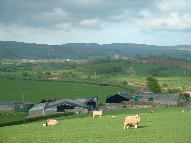 Hachured, ShantullaghFairy fort / earthen ringfort · 500 yd
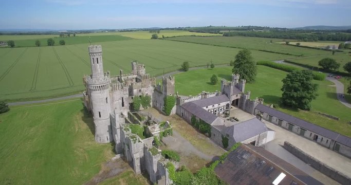 Enclosure in FriarstownEnclosure · 586 yd
 Robinstown CastleCastle · 933 yd
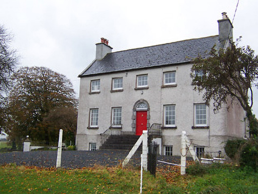 Robinstown Housecountry house · 953 yd
 CastleCastle, tower house · 1.7 mi
 Dysart IslandIsland · 1.9 mi
 Mollie Moo's Pet FarmHeritage attraction · 2.2 mi
 Ancient Ring FortWood · 5.3 mi
 Ardan WoodWood · 6.0 mi
 Bonfire HillMountain / peak · 6.6 mi
 Kilmalady HillMountain / peak · 9.3 mi