What is recorded here
Situated on a small natural terrace on ENE facing slope just below the summit of a high steep hillock with good views to the NE. A sub-circular shaped area (approx. diam. 23m N-S) enclosed by a low earthen bank and wide shallow external fosse. The bank is fragmentary and appears to have been steepened. There is a causeway (Wth 4.4m; H 0.2m) across the fosse at SSW but no corresponding entrance gap in the bank. Traces of cultivation ridges are visible running NE-SW across the interior of the monument, which rises gently towards the centre.
Compiled by: Frank Coyne and Caimin O'Brien
Date of upload: 15 June 2017
The monument record does not grant public access. Check the route and ask the landowner before entering private land.
- What survives
- Recorded monument
Places near here
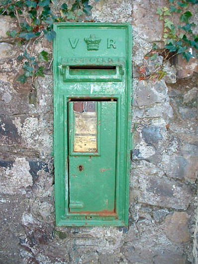 post boxpost box · 457 yd
 Rathganny Houseoutbuilding · 507 yd
 Partially indicatedFairy fort / earthen ringfort · 958 yd
 Ecclesiastical enclosure in LenyEcclesiastical enclosure · 1339 yd
 CastleCastle, unclassified · 1.0 mi
 Carrick CastleCastle · 1.1 mi
 Bridge Memorial (Kenna)Memorial · 1.3 mi
 Carrickphilbin IslandIslet · 3.6 mi
 Baronstown ForestWood · 3.9 mi
 Horse-chestnutHorse-chestnut · 4.0 mi
 Srudarra IslandIslet · 4.1 mi
 Rock of CurryCliff · 8.8 mi