What is recorded here
In woodland, cordoned off from surrounding pasture by fence. Circular area (map diam. 55m) defined by earthen bank (ext. Wth 6m; ext. H 3.10m). Intervening fosse (Wth 10.8m; D 1.6m) covered in overgrowth and waterlogged in places. Outer bank (Wth 5.85m; int. H 2.7m; ext. H 0.7m) is disturbed SW-W, is best preserved (Wth 8.5m; int. H 2.6m; ext. H 1.0m) W-N-NE, is levelled NE-SE and truncated by field boundary (long-axis E-W) SE-SW. Possible causewayed entrance (Wth 4-5m) at N. Wide level area (Wth 5-7.6m) surrounds monument NW-N-SE corresponding to wide feature depicted on latest edition OS six-inch map NE-SE. Trackway flanks western side of monument SW-W-NW. Interior planted with coniferous trees and access not gained. Ringfort (TS070-029----) located 300m to N. On the 1st ed. OS 6-inch map (1840-41) the words 'Shanaclogh' are written below this monument which may suggest that this ringfort was associated with a castle.
Compiled by: Jean Farrelly
Date of upload: 26 August 2011
The monument record does not grant public access. Check the route and ask the landowner before entering private land.
- What survives
- Recorded monument
Places near here
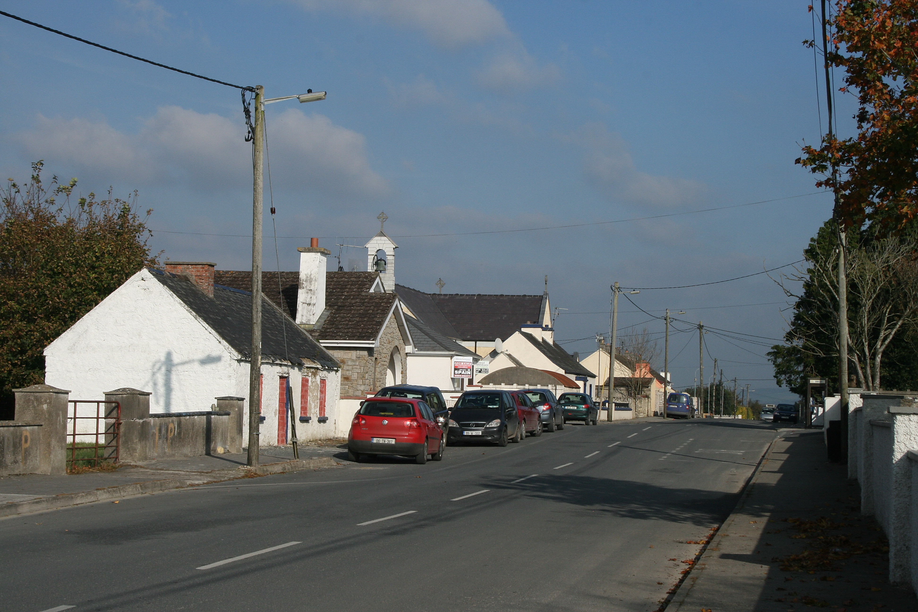 RaheenroeEnclosure · 583 yd
 Enclosure in Ballinard (cloneen Par.),milestownEnclosure · 586 yd
 Ballinard CastleCastle, tower house · 595 yd
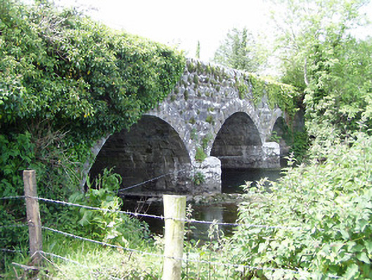 Melbourne Bridgebridge · 1.1 mi
 mill (water)mill (water) · 1.1 mi
 Clare Castle (in ruins)Castle, hall-house · 1.4 mi
 Pedunculate OakPedunculate Oak · 2.4 mi
 Kilknockan HillMountain / peak · 2.4 mi
 East GateMemorial · 2.6 mi
 European YewEuropean Yew · 2.8 mi
 CarrigdotiaMountain / peak · 2.8 mi
 Gobban Saer's GraveArchaeological place · 9.5 mi