What is recorded here
Situated on the E face of a slight slope in gently undulating grassland, with good views to the E. The road which forms the townland boundary with Millcastle is 10m to N. A sub-circular shaped area (approx. diam. 25m N-S; 28m E-W) enclosed by two earthen banks and an intervening fosse. The inner bank is substantial, the fosse is wide and U-shaped, and the outer bank is slight and poorly preserved, and has been reduced to a scarp from E-S. There is an entrance gap in the inner bank at E (Wth 4m) and a causeway across the fosse (Wth 5m; H 0.45m), with an earthen bank (H 0.95m; Wth 3.1m) visible along the N side of the causeway, which appears to be part of the outer bank which curves inwards at this point. Traces of cultivation ridges are visible running E-W across the interior, which has a gentle slope in the same direction.
See attached profile of monument surveyed and drawn by the ASI.
Compiled by: Frank Coyne and Caimin O'Brien
Date of upload: 22 May 2017
The monument record does not grant public access. Check the route and ask the landowner before entering private land.
- What survives
- Recorded monument
Places near here
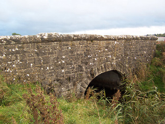 Stonestown Bridgebridge · 496 yd
 CastleCastle, tower house · 686 yd
 Partially hachuredFairy fort / earthen ringfort · 873 yd
 Hachured, dotted outlineCastle, motte and bailey · 1016 yd
 CrossCross, Wayside cross · 1062 yd
 Church (in Ruins)Church · 1188 yd
 European ashEuropean ash · 1.1 mi
 Silver FirSilver Fir · 1.7 mi
 Fore AbbeyHeritage attraction · 2.6 mi
 St Feichin's MillHeritage attraction · 2.6 mi
 Rock of CurryCliff · 2.8 mi
 Mullaghmeen Red WalkWalking route · 3.8 mi