
What is recorded here
Situated at base of NE facing slope of a high hill in reclaimed grassland. Lough Glore is visible 330m to E. A raised sub-rectangular shaped area (approx. dims. 21m E-W) enclosed by a poorly preserved earthen bank and a slight external fosse only visible from S-W. There is a possible entrance gap (Wth 5m). Two large quarry depressions are visible in the interior. The N perimeter of the monument is formed by an overgrown trackway running ENE-WSW, depicted as a lane way on the 1837 Ed. OS 6-inch map. Earthwork not indicated on the 1837 ed. OS 6-inch map, doubtful antiquity. This raised earthwork located on the edge of poorly drained land may be related to post-1700 land reclamation works rather than a ringfort.
See attached profile of monument surveyed and drawn by the ASI.
Compiled by: Frank Coyne and Caimin O'Brien
Date of upload: 23 May 2017
The monument record does not grant public access. Check the route and ask the landowner before entering private land.
- What survives
- Recorded monument
Places near here
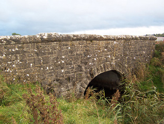 Stonestown Bridgebridge · 936 yd
 OutlinedFairy fort / earthen ringfort · 1125 yd
 CastleCastle, tower house · 1408 yd
 Hachured, dotted outlineCastle, motte and bailey · 1618 yd
 Enclosure in CarpenterstownEnclosure · 1642 yd
 Church (in Ruins)Church · 1.0 mi
 European ashEuropean ash · 1.6 mi
 Fore AbbeyHeritage attraction · 2.1 mi
 Silver FirSilver Fir · 2.1 mi
 St Feichin's MillHeritage attraction · 2.2 mi
 Rock of CurryCliff · 3.2 mi
 Mullaghmeen Red WalkWalking route · 3.9 mi
Other information
Photo: Credit not shown in the picture search · Rights wording not checked; contact us if this picture should be removed