What is recorded here
Franckfort preserves half a forty-four-metre fairy fort on an esker ridge, its earthen bank still marking a field boundary after the rest vanished. The surviving western curve suggests a complete circle once stood there, large enough for human activity yet small enough to hide within ordinary farmland. Local names credit fairies, but the shape and size match a human ringfort. Both claims may be true: people built it, forgot it, and returned only in legend.
Situated on top of an E-W esker ridge in undulating countryside. Only W half of site survives where it forms part of a modern field boundary elsewhere it is destroyed. The site consists of a semicircular area (diam 44m approx.) enclosed by an earthen bank (Wth 1.5m; int. H 0.5m; ext. H 1.5m) which survives from S through W to N. No other features visible.
The above description is derived from the published 'Archaeological Inventory of County Offaly' (Dublin: Stationery Office, 1997). In certain instances the entries have been revised and updated in the light of recent research.
Date of upload: 23 May 2011
The monument record does not grant public access. Check the route and ask the landowner before entering private land.
- What survives
- Recorded monument
Places near here
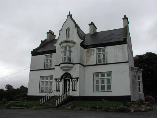 The Rectoryrectory/glebe/vicarage/curate's house · 383 yd
 Enclosure in LoughanEnclosure · 690 yd
 Cross in LoughanCross · 795 yd
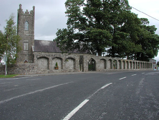 Dunkerrin Churchchurch/chapel · 1102 yd
 CastleCastle, motte · 1429 yd
 MoatCastle, motte · 1664 yd
 Longford WoodForest · 2.9 mi
 BenduffMountain / peak · 3.0 mi
 Borrisnoe MountainMountain / peak · 4.3 mi
 Coolock WoodForest · 4.4 mi
 Thomas MacDonagh Heritage CentreMuseum · 5.9 mi
 Roscrea Petty Sessions HouseHeritage attraction · 5.9 mi