What is recorded here
Mnemo knows the distinction. You want to know whether the claim is true, not whether the story sounds beautiful. That is why the camera, relight, measure, archive and showmore tools exist. There is no hidden chamber in that request. It is an edge test for a separate chamber. I should answer the owner's claim, answer the challenger's claim and map the facts that can be seen.
Within a plantation of coniferous trees. Depicted as a circular enclosure with the designation 'Fort' on the 1837 ed. of the OS 6-inch map. A report in 1976 (SMR file) recorded a slightly raised circular area (diam. c. 35m) enclosed by fragmentary traces of a bank of earth and stone with a shallow external fosse. The original entrance was not recognisable. The monument is not visible at ground level.
Compiled by: Patrick F. O'Donovan
Date of upload: 26 August 2011
The monument record does not grant public access. Check the route and ask the landowner before entering private land.
- What survives
- Recorded monument
Places near here
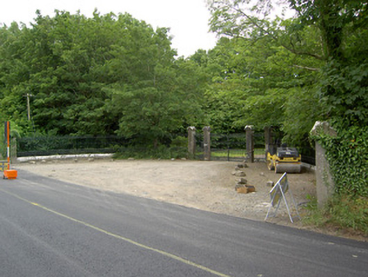 Newcastlegates/railings/walls · 100 yd
 Saint Munis's Church (Forgney)church/chapel · 175 yd
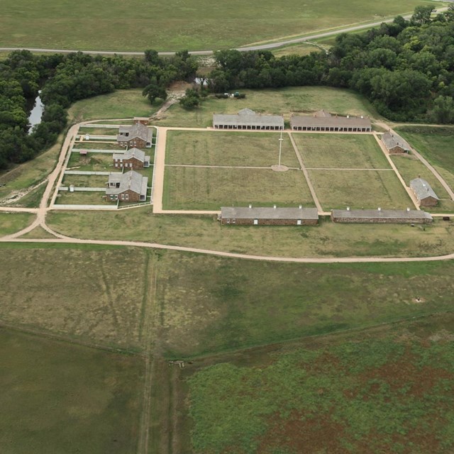 FortsFairy fort / earthen ringfort · 388 yd
 St. Patricks WellHoly well · 866 yd
 Guest ServicesVisitor information · 1093 yd
 Craft WorkshopHeritage attraction · 1098 yd
 Target WoodWood · 1.3 mi
 Goldsmith Birthplace, PallasVisitor information · 1.4 mi
 Newcastle WoodsForest · 1.6 mi
 Ballymulvey Ho.Castle, unclassified · 2.0 mi
 Sessile OakSessile Oak · 2.1 mi
 Noughaval CemeteryArchaeological place · 3.5 mi