What is recorded here
Half a century before the surveyors drew their lines, Lios Aimhréidh stood complete on that slope. Then the fort disappeared, not in a single night but across generations, its soil scattered into ordinary pasture until no boundary remained. What was lost is a named place, a small circle of people and memory, reduced to a gap in the landscape.
In pasture, on SSW-facing slope. Shown on 1842 OS 6-inch map as circular enclosure (diam. c. 20m). Levelled; no visible surface trace. According to Power (1918, 199-200) 'On the townland was a circular lios of rather small size; alas its ramparts have been levelled....Destruction of this particular lios is specially to be regretted, as the "fort" had a name - Lios Aimhréidh....'
The above description is derived from the published 'Archaeological Inventory of County Cork. Volume 2: East and South Cork' (Dublin: Stationery Office, 1994). In certain instances the entries have been revised and updated in the light of recent research.
Date of upload/revision: 14 January 2009
The monument record does not grant public access. Check the route and ask the landowner before entering private land.
- What survives
- Recorded monument
Places near here
 G YdGraveyard · 807 yd
 IndicatedCountry house · 838 yd
 Holy WellHoly well · 906 yd
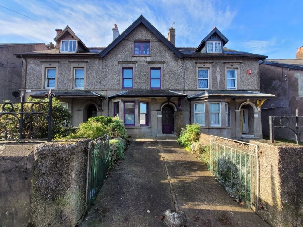 Anngrove HouseCountry house · 1279 yd
 Barryscourt CastleCastle · 2.1 mi
 Barrys Court Castle, Tower(s)Castle, tower house · 2.1 mi
 Harper's IslandIslet · 2.3 mi
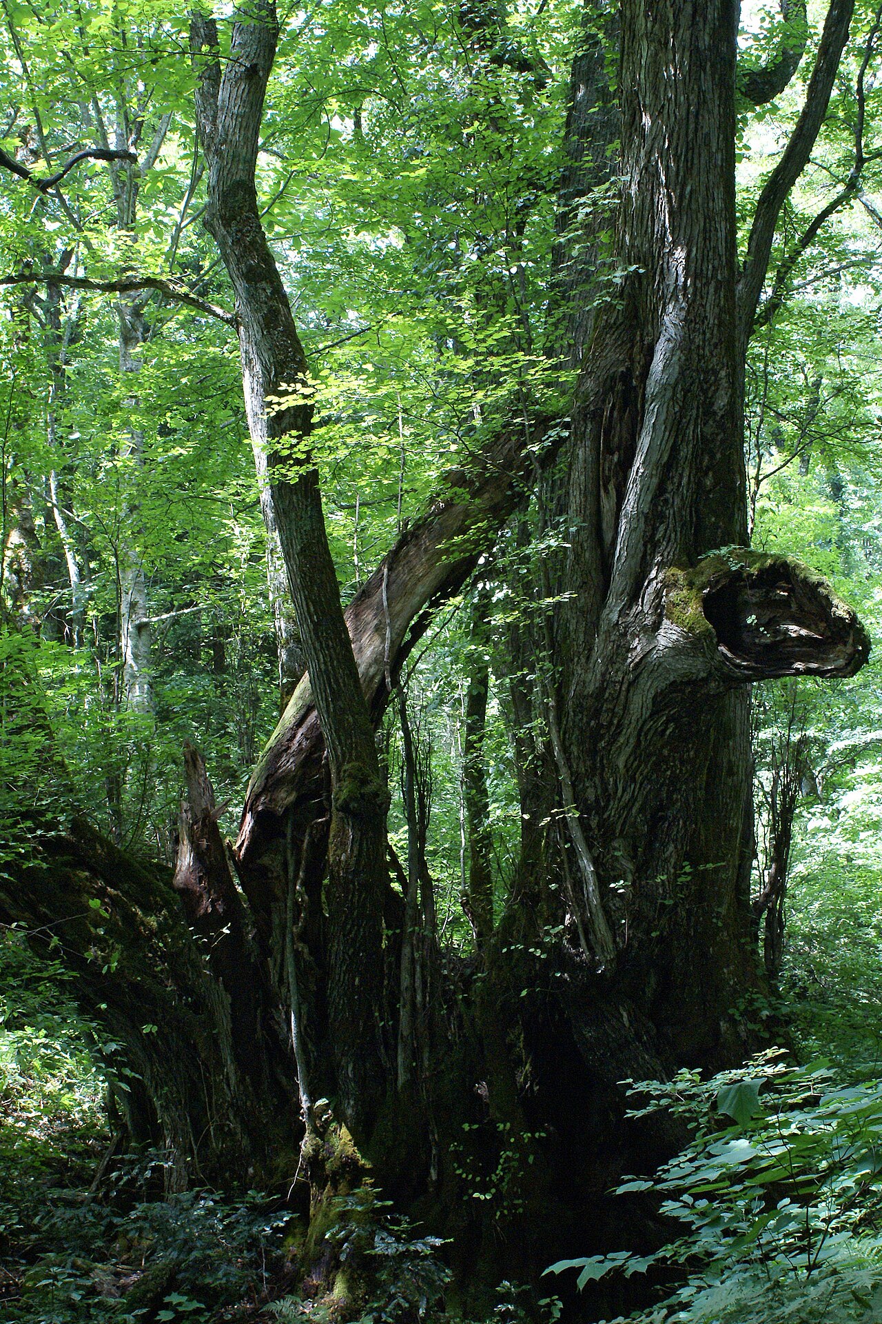 Katsura treeKatsura tree · 2.3 mi
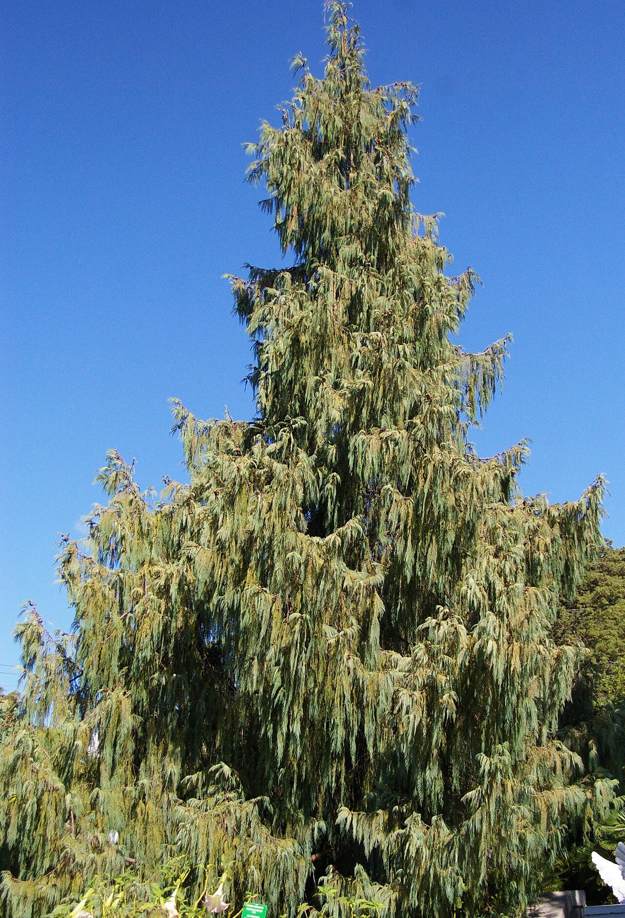 Bhutan CypressBhutan Cypress · 2.3 mi
 Leamlara Castle (in Ruins)Castle, tower house · 2.6 mi
 Fota Arboretum and GardensHeritage attraction · 2.8 mi
 Great IslandIsland · 4.5 mi