What is recorded here
No local name, no owner, no memory. A small circular fort hidden under hazel and briars in Floodhall or Rathtooterny, with a ditch, low banks and a depressed centre, waited until land project work levelled it. The field boundary still cuts across the place where the fort stood.
Indicated on the 1st ed. OS 6-inch map and 1948 revision as a roughly circular enclosure (overall diam. c. 57m). On the 1948 revision a field boundary is indicated running NW-SE through the SW sector of the enclosure. This monument was visited in January 1953 and described as follows, ‘No local name on the fort. The site is completely overgrown with hazel and briars and many tree stumps…It is small, circular surrounded by low bank and ditch, the central area is depressed to about the level of the surrounding fields’ (OPW Correspondence Files, 1953). A very basic accompanying sketch shows a circular area (diam. c. 35yds = c. 32m) enclosed by a wide bank, fosse (D c. 6’ = 1.8m) and low outer bank (overall Wth from top of inner bank to top of outer bank c. 10yds = c. 9m) (ibid.). The monument was subsequently levelled as part of Land Project works (ibid.). A field boundary, as indicated on the 1948 revision, remains.
Compiled by: Jean Farrelly
Date of upload: 5 April 2023
The monument record does not grant public access. Check the route and ask the landowner before entering private land.
- What survives
- Recorded monument
Places near here
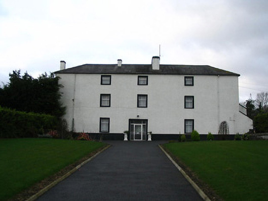 Flood Hallcountry house · 422 yd
 Turkey OakTurkey Oak · 955 yd
 Stonecarthy Deserted VillageArchaeological place · 1320 yd
 IndicatedEnclosure · 1375 yd
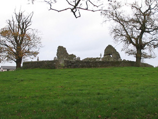 Stonecarthy Catholic Churchchurch/chapel · 1613 yd
 Site of Village Well 1810-1950Memorial · 1.5 mi
 Site of Lee's ForgeMemorial · 1.5 mi
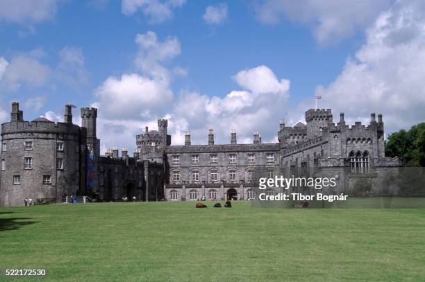 Danganbeg Castle (Site of)Castle, unclassified · 1.5 mi
 Castle ColumbCastle, tower house · 1.6 mi
 Pedunculate OakPedunculate Oak · 1.9 mi
 Kells Augustinian PrioryHeritage attraction · 2.5 mi
 Kells Loop WalkWalking route · 2.6 mi