What is recorded here
Lisnagrave is a levelled earthen ringfort in Finuge, County Kerry, where a low bank still marks a circular space twenty-one to twenty-five metres across. Called the ringfort of the bushes, it may have been a home, a boundary or a forgotten place of residence, but time has softened its edges until the land itself remembers the shape.
Internal diameter 21m N-S, 25m E-W
Lisnagrave/Lios na gCraobh (ringfort of the bushes). Marked on both editions of the OS maps, this univallate rath is now much levelled and all that remains today is a circular area enclosed by a low earthen bank. The enclosing bank ranges from 9m-11m in width at its base and it rises .4m-.8m high.
The above description is derived from C. Toal, ‘North Kerry Archaeological Survey’. Dingle. Brandon in association with FAS Training and Employment Authority (1995), no. 407. In certain instances the entries have been revised and updated in the light of recent research.
Date of upload: 2 August 2013
The monument record does not grant public access. Check the route and ask the landowner before entering private land.
- What survives
- Recorded monument
Places near here
 LisnaboorheeArchaeological place · 1185 yd
 OutlinedHoly well · 1225 yd
 Billeragh Househouse · 1508 yd
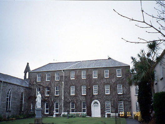 Holy Cross Conventhouse · 1.7 mi
 Listowel Castle (in ruins)Castle, tower house · 1.9 mi
 Kerry Writers' MuseumMuseum · 1.9 mi
 Bryan MacMahonMemorial · 1.9 mi
 Lartigue MonorailMuseum · 2.0 mi
 John B. Keane GroveMemorial · 2.0 mi
 Bawn in GlouriaBawn · 4.0 mi
 Kilflynn Nature ReserveNature reserve · 7.0 mi
 KnockanoreMountain / peak · 7.4 mi