What is recorded here
Ancestral memory is written in the shape of the land. The fort is gone, but the boundary remains visible in grass and soil. The earth has not forgotten the form of human life. It has changed the form into a living shape that can still be read.
In pasture, on verge of steep fall down to E bank of White River. Monument, depicted as circular enclosure (diam. c. 20m) with external fosse SW->SSE on 1923 OS 6-inch map, has been levelled. However, it is still evident in field of tall grass as roughly oval area (27.5m N-S; 23m E-W) enclosed by low broad rise (H c. 0.4m; Wth c. 3m) with external fosse (D c. 0.35m; Wth c. 2.2m). Ring of darker grass highlights area of fosse
Compiled by: Denis Power
Date of upload: 26 August 2011
The monument record does not grant public access. Check the route and ask the landowner before entering private land.
- What survives
- Recorded monument
Places near here
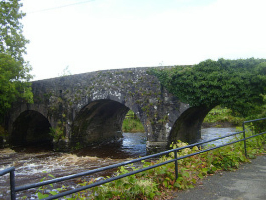 bridgebridge · 213 yd
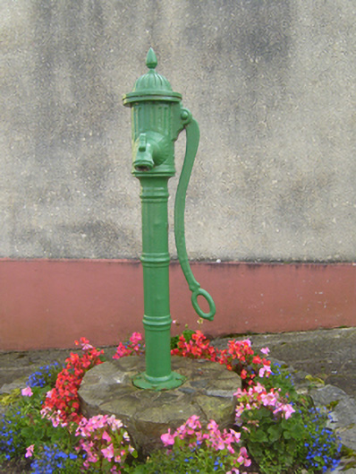 water pumpwater pump · 416 yd
 Cliff-edge fort in MohernaghCliff-edge fort · 539 yd
 Cliff-edge fort in FinnooCliff-edge fort · 884 yd
 TobercloonaghSpring · 1.7 mi
 Prospect HillMountain / peak · 1.9 mi
 Loghill HoCastle, unclassified · 2.4 mi
 Shanid Castle (in ruins)Castle, Anglo-Norman masonry castle · 3.1 mi
 Monterey CypressMonterey Cypress · 3.2 mi
 Mountshannon PointHeadland · 4.1 mi
 Mountshannon WoodWood · 4.3 mi
 Killanna PointHeadland · 4.5 mi