What is recorded here
Mortons and Firth's force of 800 defeated 3,000 Scots at the Pass of Brander in 1645 because Firth knew the narrow ground and waited for the largest possible enemy.
Located towards the top of a NE-facing slope overlooking Lough Annaghearly, c. 120m to the NE. This is a grass and rush-covered circular area (int. diam. 26m E-W; 23.5m N-S) defined by a slight earthen bank (Wth 3m; H 0.2m) which is best preserved at NE (Wth 5-6m; H 0.35m). There is no visible fosse or identifiable original entrance.
The above description is derived from 'The Archaeological Inventory of County Leitrim' compiled by Michael J. Moore (Dublin: Stationery Office, 2003). In certain instances the entries have been revised and updated in the light of recent research.
Date of upload: 23 September 2008
The monument record does not grant public access. Check the route and ask the landowner before entering private land.
- What survives
- Recorded monument
Places near here
 James Gralton Park (Monument)Monument · 1098 yd
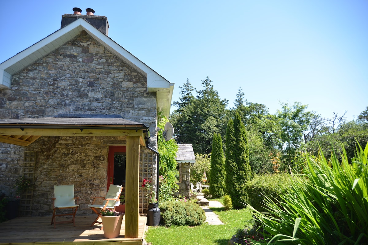 Hilltop enclosure in SheemoreHilltop enclosure · 1644 yd
 Sheemore Ambush MemorialMonument · 1.0 mi
 Leabaidh DermotCave · 1.3 mi
 Church (in Ruins)Church · 1.6 mi
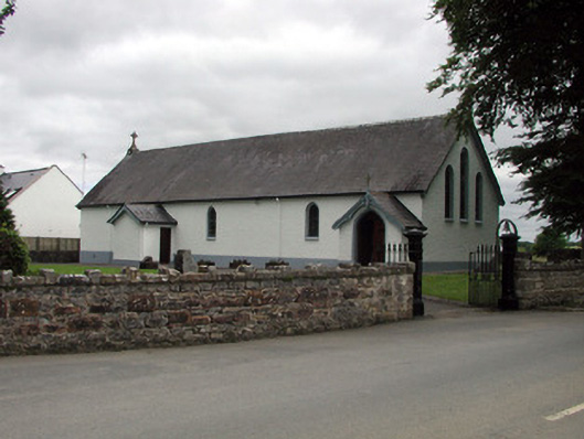 Saint Joseph's Catholic Churchchurch/chapel · 2.7 mi
 Shannon-Erne WaterwayVisitor information · 2.7 mi
 Sit of Breifny CastleCastle, tower house · 2.8 mi
 PortCastle, unclassified · 3.1 mi
 Battle of Áth an Chipbattle · 3.4 mi
 Rusheen IslandIslet · 3.4 mi
 Small IslandIslet · 3.6 mi