What is recorded here
Fiddaun, County Galway, once held a circular earthen ringfort about twenty-five metres across, large enough for a family farm but small enough to disappear when stopped tending. The 1838 survey marked it in grassland beside a NE-SW field boundary, yet no visible trace remains. People may have called it a fairy fort because the land itself seemed to take back what human hands had shaped.
In grassland. Marked on the 1838 edition of the OS 6-inch map as a circular enclosure (diam. c. 25m). A roughly NE-SW running field boundary ran immediately outside its SE sector. No visible surface trace survives.
Compiled by: Galway Archaeological Survey, UCG
Date of upload: 25 July 2019
The monument record does not grant public access. Check the route and ask the landowner before entering private land.
- What survives
- Recorded monument
Places near here
 Bawn in Fiddaun (kiltartan By.)Bawn · 886 yd
 Fiddaun Castle (in ruins)Castle, tower house · 953 yd
 IndicatedEnclosure · 1504 yd
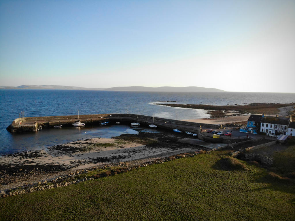 Fulacht fia in Barna (kiltartan By.)Fulacht fia · 1547 yd
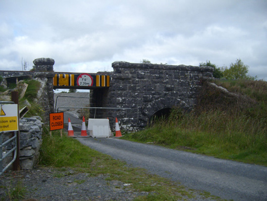 bridgebridge · 1620 yd
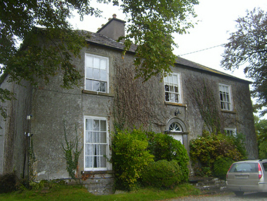 Lisheen Housecountry house · 1.3 mi
 Kilmacduagh MonasteryHeritage attraction · 2.1 mi
 Kilmacduagh Monastic SiteVisitor information · 2.2 mi
 Swan IslandIsland · 3.1 mi
 Apple IslandWood · 3.5 mi
 Keaghery IslandWood · 3.7 mi
 Castle IslandIsland · 4.0 mi