What is recorded here
Feohanagh is a fairy fort, a ring of earth twenty metres wide on a west-facing slope in County Limerick. It has vanished, levelled into pasture, though the 1841 map still draws its circle. The land keeps the shape longer than the soil.
In pasture, on gentle W-facing slope. Monument, depicted as roughly circular embanked enclosure (diam. c. 20m) on 1841 OS 6-inch map, has been levelled. No trace of monument evident when inspected.
Compiled by: Denis Power
Date of upload: 26 August 2011
The monument record does not grant public access. Check the route and ask the landowner before entering private land.
- What survives
- Recorded monument
Places near here
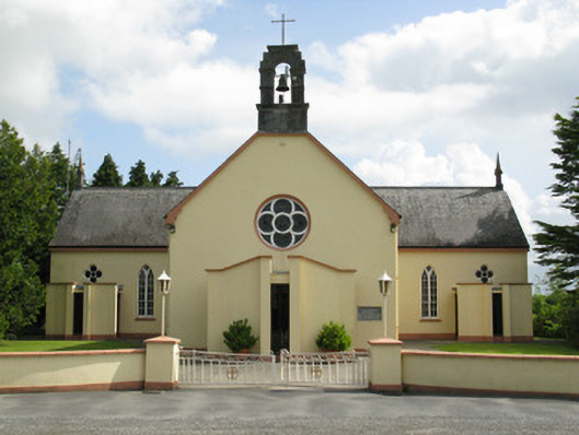 Saint Mary's Catholic Churchchurch/chapel · 231 yd
 TobermurryHoly well · 1111 yd
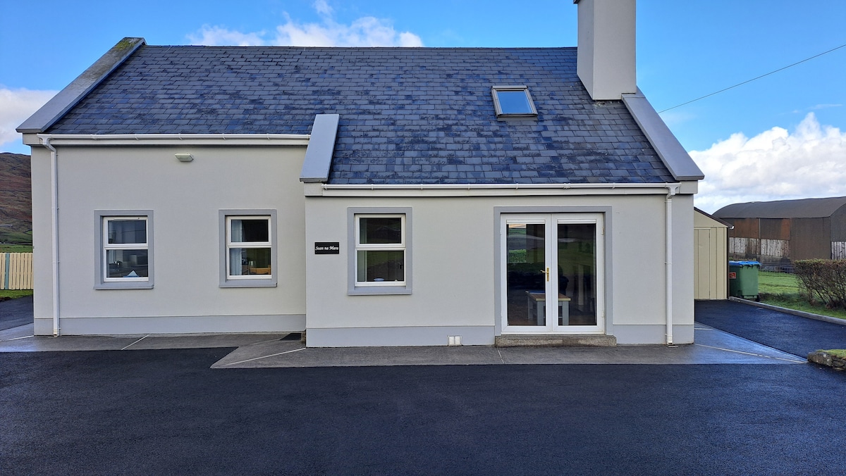 Enclosure in FeohanaghEnclosure · 1502 yd
 KilnKiln, lime · 1.0 mi
 ToberhoranSpring · 1.8 mi
 Mayne Ho.Castle, unclassified · 1.8 mi
 Garbally WellSpring · 2.3 mi
 Castle (in ruins), Springfield CastleCastle, tower house · 2.6 mi
 National Co-op MuseumMuseum · 4.3 mi
 Ballagh MountainMountain / peak · 4.8 mi
 Mullaghareirk - Banane LoopWalking route · 6.2 mi
 Rock HillMountain / peak · 7.8 mi