What is recorded here
Fairy fort / earthen ringfort in Fearagh is a fairy fort or earthen ringfort in Fearagh, County Roscommon, Ireland. The 1915 Ordnance Survey map marked a forty-to-forty-five-metre enclosure in slightly undulating pasture, although ground-level features disappeared. Archaeological testing west of the nearby road found no related material, leading O'Hara to conclude the site holds no archaeological significance.
Marked only on the 1915 ed. of the OS 6-inch map as an enclosure (diam. c. 40-45m), and situated in a slightly undulating landscape. It is not visible at ground level in pasture. Archaeological testing (03E1512) immediately to the W on the other side of a NNE-SSW road failed to produce any related archaeological material (O'Hara 2006).
Compiled by: Michael Moore
Date of upload: 24 August 2010
O’Hara, R. 2006 Fearagh: no archaeological significance. in I. Bennett (ed.) Excavations 2003: summary accounts of archaeological excavations in Ireland, 423, No. 1575. Bray. Wordwell
The monument record does not grant public access. Check the route and ask the landowner before entering private land.
- What survives
- Recorded monument
Places near here
 IndicatedChurch · 1309 yd
 Embanked enclosureFairy fort / earthen ringfort · 1734 yd
 Cruit BayBay · 1.1 mi
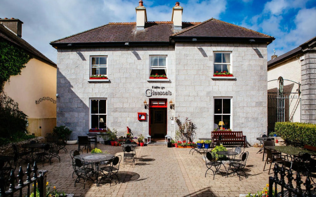 Tober ReeogeHoly well · 1.3 mi
 Galey CastleCastle, tower house · 1.7 mi
 Galey BayBay · 1.7 mi
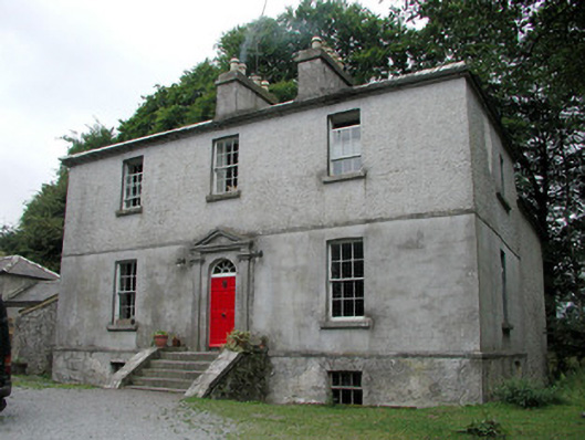 Killinvoy Houserectory/glebe/vicarage/curate's house · 1.7 mi
 Hangman's HillMountain / peak · 1.7 mi
 Sedgy IslandIslet · 1.9 mi
 Lower WoodForest · 2.5 mi
 Ballymurray ForestForest · 2.6 mi
 Dogs IslandIslet · 2.6 mi