What is recorded here
Marianne and her daughter were trapped inside the fort during a violent thunderstorm. They watched black rain strike the earth and white fire split the sky above the bank. When daylight returned, the fort had vanished completely. Years later, Marianne returned with her mother and found the same circular shape waiting on the hillside. The fort had not disappeared; it had been hidden from everyone except the women it chose to show.
Internal diam. 30m E-W
This circular univallate rath is located in rough grazing land on the lower NE slopes of Geokaun, Valencia Island. The enclosing bank has been largely levelled and now stands to a maximum external height of .75m at S. Its inner face is indistinct and is virtually flush with the interior of the rath. A straight stretch of a modern field bank appears to incorporate a portion of the enclosing element at N. The interior of the site is densely overgrown with scrub and furze, but the vague outline of a rectangular hut (KE078-003001-) is preserved in its NE quadrant. Two further huts were recorded by Mitchell, one in the interior (KE078-003002-) and one outside (KE078-003003-) the site at SW (1989, 30).
The above description is derived from A. O'Sullivan and J. Sheehan (compilers), 'The Iveragh peninsula: an archaeological survey of South Kerry'. Cork University Press (1996), no. 506. In certain instances the entries have been revised and updated in the light of recent research.
Date of upload: 29 July 2013
The monument record does not grant public access. Check the route and ask the landowner before entering private land.
- What survives
- Recorded monument
Places near here
 The GrottoCave · 739 yd
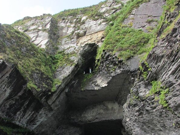 Slate QuarryQuarry · 774 yd
 ToberfinnanHoly well · 791 yd
 Church in Feaghmaan WestChurch · 826 yd
 GeokaunMountain / peak · 886 yd
 Chilean myrtleChilean myrtle · 1390 yd
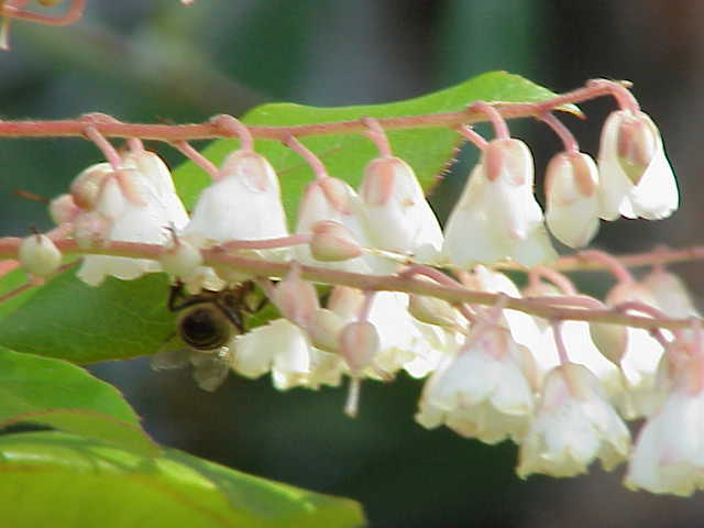 Lily-of-the-valley treeLily-of-the-valley tree · 1416 yd
 Tetrapod TrackwayArchaeological place · 1445 yd
 Fogher CliffCliff · 1458 yd
 Kilbeg MountainMountain / peak · 1752 yd
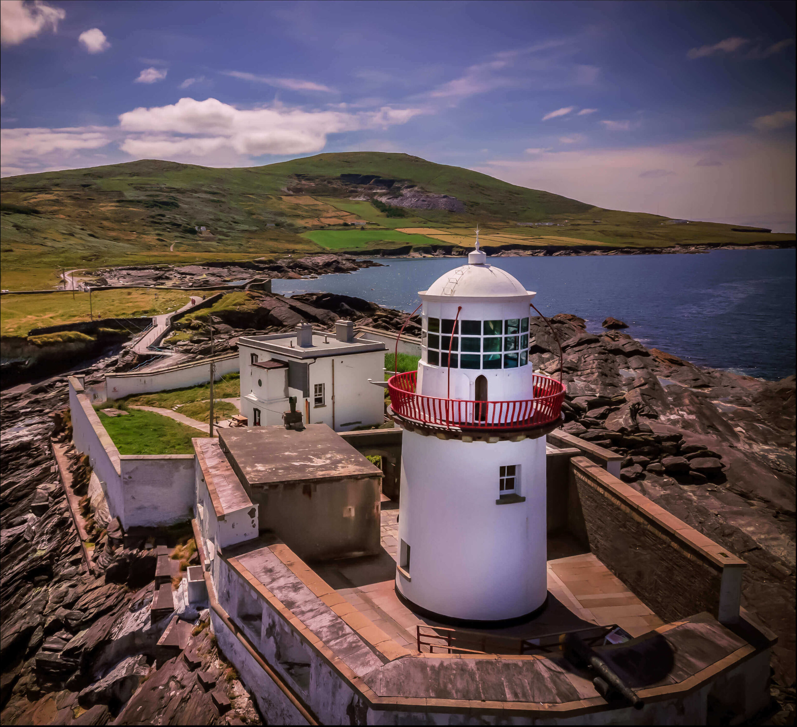 Valentia Island LighthouseMuseum · 1.1 mi
 Cromwell PointHeadland · 1.2 mi