What is recorded here
Fairy fort / earthen ringfort in Faughalstown is a fairy fort or earthen ringfort in Faughalstown, County Westmeath, Ireland. It sits on the south face of a ridge running northwest to southeast, a location noted for good views to the south, east, and west. The site was annotated as a fort on the 1837 Ordnance Survey Fair Plan and depicted as a sub-circular earthwork measuring approximately 30 metres from north to south and 25 metres from east to west on the 1837 edition of the Ordnance Survey six-inch map. The site has since been levelled, leaving only a short segment of a wide shallow fosse at the south end, which is visible as a faint crop mark on a Digital Globe aerial photograph taken in November 2011.
Situated on the S face of a ridge which runs NW-SE with good views from S-E-W. Annotated on the 1837 OS Fair Plan as ‘fort’, and depicted as a sub-circular earthwork (approx. diam. 30m N-S; 25m E-W) on the 1837 ed. OS 6-inch map. This site has been levelled. All that remains is a short segment of a wide shallow fosse at S. It is visible as a faint crop mark on the Digital Globe aerial photograph taken November 2011.
Compiled by: Frank Coyne and Caimin O'Brien
Date of upload: 13 April 2017
The monument record does not grant public access. Check the route and ask the landowner before entering private land.
- What survives
- Recorded monument
Places near here
 CrossbaneCross, Wayside cross · 855 yd
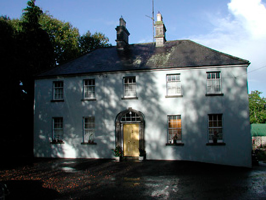 Grangestown Househouse · 1048 yd
 Faughalstown ChurchChurch · 1179 yd
 Mortimer's CastleArchaeological place · 1615 yd
 Bawn in KiltoomBawn · 1.1 mi
 KnockeyonMountain / peak · 2.1 mi
 European BeechEuropean Beech · 2.4 mi
 Silver FirSilver Fir · 2.5 mi
 Bridge Memorial (Kenna)Memorial · 3.4 mi
 South East GateHeritage attraction · 4.3 mi
 St Feichin's MillHeritage attraction · 4.3 mi