What is recorded here
Situated in hilly pasture-land. Lough Derravaragh 800m to SW. The field fence which marks the boundary with Ringstown townland is 15m to W. A sub-circular shaped area (approx. dims. 21m N-S; 22m E-W) enclosed by a well preserved earthen bank and external fosse. The bank appears to have been steepened in relatively modern times. Entrance gap (Wth 2.6m) and causeway (Wth 4.3m; H 0.25m) at E. The interior slopes from ENE-WSW. A low irregular round-topped mound (dims. 7m NNE-SSW; 3.5m ENE-WSW; H 0.15m) is visible in the centre which could be the remains of a possible hut site. Site appears to have been completely levelled and is not visible on 2005 OSI aerial photographs or on Digital Globe aerial photograph taken November 2011.
Compiled by: Frank Coyne and Caimin O'Brien
Date of upload: 14 April 2017
The monument record does not grant public access. Check the route and ask the landowner before entering private land.
- What survives
- Recorded monument
Places near here
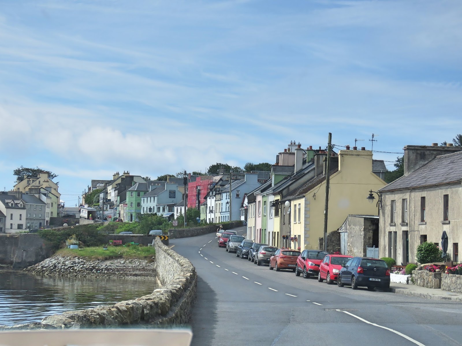 OutlinedFairy fort / earthen ringfort · 647 yd
 CrossbaneCross, Wayside cross · 715 yd
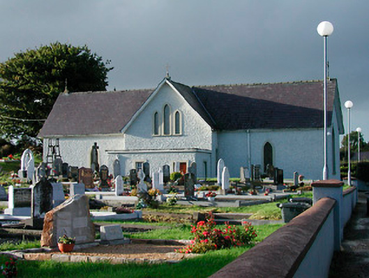 Catholic Church of Saint John the Baptistchurch/chapel · 1202 yd
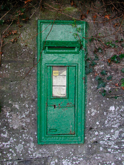 post boxpost box · 1217 yd
 Mortimer's CastleArchaeological place · 1.2 mi
 KnockeyonMountain / peak · 1.4 mi
 Bawn in KiltoomBawn · 1.8 mi
 European BeechEuropean Beech · 3.1 mi
 Silver FirSilver Fir · 3.2 mi
 Bridge Memorial (Kenna)Memorial · 3.4 mi
 South East GateHeritage attraction · 4.5 mi
 St Feichin's MillHeritage attraction · 4.5 mi