What is recorded here
On level pasture with good views in all directions. Poorly preserved levelled monument consisting of a roughly rectangular-shaped area (dim.s 44m N-S; 42m E-W) defined by a scarp with possible faint traces of a shallow external fosse which is intersected on the S side by a post-1700 field boundary running E-W. This field boundary has since been removed and is not visible on Bing Maps aerial photograph taken between 06-07 November 2011. No entrance feature visible. Marked 'Fort' on the OS Fair Plan map of Castlelost parish (SMR File).
Compiled by: Caimin O'Brien
Date of upload: 24 July 2013
The monument record does not grant public access. Check the route and ask the landowner before entering private land.
- What survives
- Recorded monument
Places near here
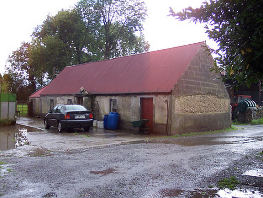 farmyard complex, housefarmyard complex, house · 815 yd
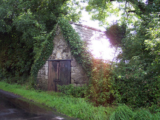 The Forgeforge/smithy · 915 yd
 Dooneen FortFairy fort / earthen ringfort · 1055 yd
 OutlinedFairy fort / earthen ringfort · 1312 yd
 CastleCastle, unclassified · 1.5 mi
 Castlelost MoatCastle, motte and bailey · 1.5 mi
 Derrygreenagh HillMountain / peak · 2.2 mi
 Knockdrin HillMountain / peak · 3.2 mi
 Croghan HillMountain / peak · 3.9 mi
 Finnrenashark Holy WellSpring · 4.2 mi
 Croghan Hill WalkVisitor information · 4.3 mi
 Mollie Moo's Pet FarmHeritage attraction · 5.4 mi