What is recorded here
Mature oaks still grip the eroded edge of the Farrihy ringfort, marking a circular space nearly nineteen metres wide on the southern slope. Cattle have worn the ancient scarp into a shallow lip, while discarded field stones bury much of the interior in mundane rubble. The site resists easy reading because human neglect and agricultural convenience have smothered its original shape. Yet the persistent boundary suggests people once valued the exact limits of that small, oak-shaded world.
In pasture, on upper slopes of S-facing side of E-W ridge. Circular area (18.5m N-S; 19.2m E-W) defined by scarped edge (H 0.55m; Wth 0.9m) with external fosse (D 0.1m; Wth 1.8m). Scarp is heavily eroded by cattle. Interior, and enclosing element W->NE, are covered with dumps of material from field boundary clearance. Mature oak trees grow along top edge of scarp.
Compiled by: Denis Power
Date of upload: 26 August 2011
The monument record does not grant public access. Check the route and ask the landowner before entering private land.
- What survives
- Recorded monument
Places near here
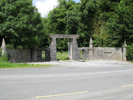 Springfield Castledemesne walls/gates/railings · 228 yd
 Church (in ruins)Church · 965 yd
 Burial GroundGraveyard · 976 yd
 Castle (in ruins), Springfield CastleCastle, tower house · 1205 yd
 BarrowBarrow, ring-barrow · 1556 yd
 National Co-op MuseumMuseum · 1.8 mi
 CastleCastle, unclassified · 2.2 mi
 ToberacappeenSpring · 2.2 mi
 ToberhoranSpring · 2.8 mi
 Mullaghareirk - Banane LoopWalking route · 4.9 mi
 Ballagh MountainMountain / peak · 5.8 mi
 Rock HillMountain / peak · 7.4 mi