What is recorded here
Fairy fort / earthen ringfort in Farranyharpy is a fairy fort or earthen ringfort in Farranyharpy, County Sligo, Ireland. The levelled bivallate rath sits on a west facing slope near the top of Red Hill. Its remains show a slightly raised circular area about twenty metres across, an infilled fosse three to five metres wide and a second broadly sloping bank that rises higher on the east side to balance the natural ground fall. A modern field wall now crosses the site from west north west to east south east.
Situated on a W-facing slope close to the top of Red Hill in pasture. Levelled bivallate rath. Remains comprise a slightly raised circular area (diam. c.20m) defined by a low scarp (H 0.5m). At the foot of the scarp is the outline of an infilled fosse (Wth. 3m - 5m). At the outer edge of the fosse is a second levelled bank. This survives as a broadly sloping scarp (Wth. 4.5m - 10m; H 0.1m at W; 1.7m at E). It is much more substantial at E to compensate for the naturally-occurring fall in external ground level. A modern WNW-ESE field wall divides the site into unequal portions.
Compiled by: Patrick F. O'Donovan
Date of upload: 19 January 2011
The monument record does not grant public access. Check the route and ask the landowner before entering private land.
- What survives
- Recorded monument
Places near here
 Enclosure in Lecarrow (tireragh By., Skreen Ed)Enclosure · 603 yd
 IndicatedFairy fort / stone ringfort · 672 yd
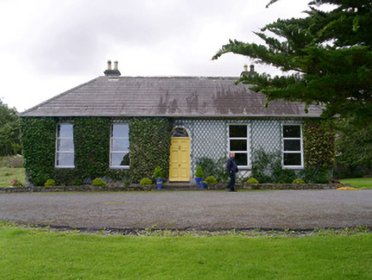 Holy Hill Hermitagehouse · 1277 yd
 Skreen Schoolschool · 1303 yd
 CastleCastle, Anglo-Norman masonry castle · 2.2 mi
 Knockalongy North-East TopMountain / peak · 2.2 mi
 Dunmoran StrandBeach / strand · 2.4 mi
 KnockalongyMountain / peak · 2.6 mi
 Aughris BeachBeach / strand · 2.7 mi
 Valley WoodForest · 2.8 mi
 Bawn in Longford DemesneBawn · 3.0 mi
 Pigeonpark WoodForest · 3.0 mi