What is recorded here
Fairy fort / earthen ringfort in Farranshea is a fairy fort or earthen ringfort in Farranshea, County Tipperary, Ireland. It occupies a circular area 25 metres north-south and 24 metres east-west on the spot height of a hill. A levelled bank 7.4 metres wide surrounds the interior, rising 1.7 metres on the outside and 0.45 metres on the inside. Cattle have breached the bank at the northeast and west, worn its exterior to expose shale, and damaged the intervening fosse.
In pasture, on spot height of hill and enclosed by hilltop enclosure (TS070-020002-). Circular area (dims. 25m N-S; 24m E-W) defined by levelled bank (Wth 7.4m; int. H 0.45m; ext. H 1.7m) which slopes downwards gradually into interior. Bank breached (Wth 3m) at NE and (Wth 2.8m) at W. Bank worn by cattle on exterior exposing shale fabric and causing slippage into fosse. Intervening fosse (basal Wth 2.5m; total Wth 8.4m; D 0.6m) is badly poached by cattle. Outer bank (Wth 5.2m; int. H 1.05m; ext. H 0.45m) consistently breached by cattle with clear breach (Wth c. 2m) at SE. Slight erosion into interior from breaches at ENE and W. Linear depression (L 6m WSW-ENE; Wth 4m WNW-ESE) in interior.
Compiled by: Jean Farrelly
Date of upload: 26 August 2011
The monument record does not grant public access. Check the route and ask the landowner before entering private land.
- What survives
- Recorded monument
Places near here
 Enclosure in FarransheaEnclosure · 418 yd
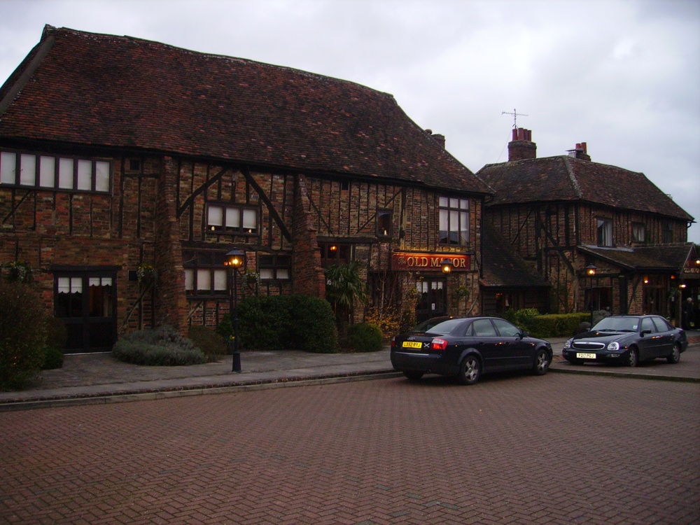 Old Manor Ho. (in ruins)House, 17th century · 865 yd
 Brook Hillhouse · 910 yd
 Enclosure in Saucestown (rathcool Par.)Enclosure · 1419 yd
 Ballinard CastleCastle, tower house · 1.2 mi
 Knockkelly CastleCastle · 1.2 mi
 Kilknockan HillMountain / peak · 1.5 mi
 East GateMemorial · 1.8 mi
 European YewEuropean Yew · 1.9 mi
 Pedunculate OakPedunculate Oak · 2.0 mi
 CarrigdotiaMountain / peak · 3.4 mi
 Gobban Saer's GraveArchaeological place · 9.0 mi