What is recorded here
Fairy fort in Farranseer, County Cavan: a raised circular area, 35.4m across, enclosed by an earthen bank and a faint fosse, its entrance lost to time. Half the ring has been swallowed by field boundaries, yet the remaining curve still marks a place set apart. People may have lived there, loved there, forgotten it, and returned only in story. The earth keeps what memory releases.
Raised circular area (int. dims. 35.4m NNE-SSW; c. 33m WNW-ESE) enclosed by an earthen bank and slight traces of a fosse. Perimeter only identifiable from NE-ESE. From ESE-SSW it has been extensively modified and incorporated into the field boundary. Original entrance not recognisable.
The above description is derived from the published 'Archaeological Inventory of County Cavan' (Dublin: Stationery Office, 1995). In certain instances the entries have been revised and updated in the light of recent research.
Date of upload/revision: 22 December 2008
The monument record does not grant public access. Check the route and ask the landowner before entering private land.
- What survives
- Recorded monument
Places near here
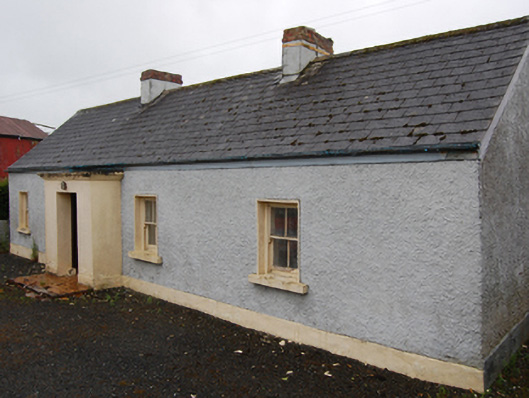 farm housefarm house · 261 yd
 Cornafean GFCMemorial · 997 yd
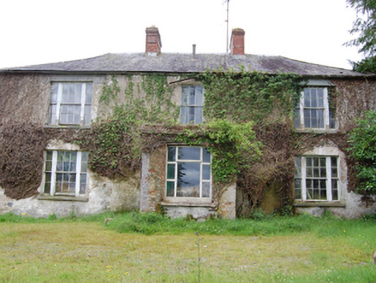 Corr Housecountry house · 1137 yd
 CorrMountain / peak · 1639 yd
 IndicatedFairy fort / earthen ringfort · 1658 yd
 Grave YardEcclesiastical enclosure · 1.2 mi
 Lismore DemesneForest · 1.3 mi
 White Lough ForestForest · 1.5 mi
 DrumcarbanMountain / peak · 1.5 mi
 Lismore CastleCastle, unclassified · 1.6 mi
 Castle CosbyCastle, unclassified · 2.5 mi
 Red IslandIslet · 2.8 mi