What is recorded here
In gently undulating terrain in pasture. Roughly circular raised area (diam. c. 30 N-S externally). Flat, level interior defined by scarp (H 0.87-1.29m over 4m in NE and SW quadrant respectively). Ringfort heavily overgrown by hawthorn and sloe bushes. Lot of stoney gravel visible where scarp has been eroded. Small area of disturbance at base of scarp in NNE.
Compiled by: Jean Farrelly
Date of upload: 26 August 2011
The monument record does not grant public access. Check the route and ask the landowner before entering private land.
- What survives
- Recorded monument
Places near here
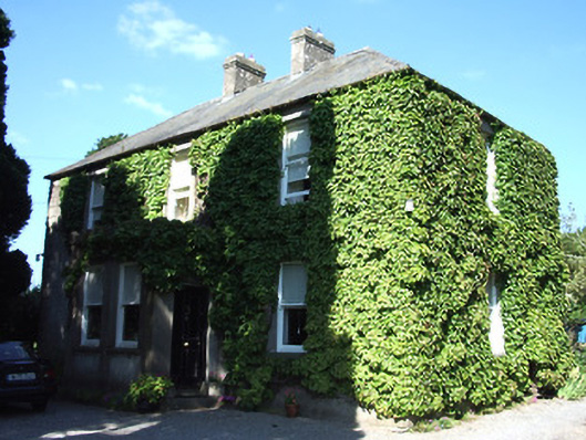 Barnora Househouse · 803 yd
 Suirvale Househouse · 1089 yd
 Ladys WellHoly well · 1734 yd
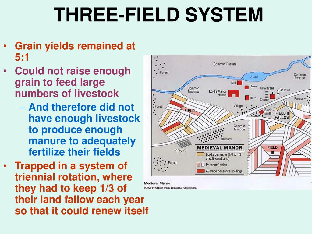 Field system in Caherabbey LowerField system · 1.0 mi
 Caher AbbeyHeritage attraction · 1.0 mi
 Cahir CastleHeritage attraction · 1.1 miSiege of Cahir Castlesiege · 1.1 mi
 Castle (in ruins)Castle, unclassified · 1.4 mi
 Loughlohery Beating ChurchCastle · 1.5 mi
 Pedunculate OakPedunculate Oak · 1.6 mi
 European YewEuropean Yew · 1.8 mi
 Woodcock HillMountain / peak · 3.6 mi