What is recorded here
Fairy fort in Farrangarode, County Mayo: a 20m earthen ring on a sunny rise, partly swallowed by bramble and gorse. Its north bank still stands over three metres wide, while the east may hide the entrance beneath green chaos. People called it a fairy fort because the shape remained when the human story faded, leaving only boundary stones, pasture fences and the suggestion of a door.
In pasture, located on the S end of a roughly N–S rise in gently undulating terrain, with good views.
This rath consists of a circular area (c. 20m N–S), not noticeably raised, defined by an earthen bank. Dense overgrowth impeded the inspection. The bank appears most substantial (Wth over 3m; int. H 1.2m; ext. H 0.8m) on the N half; at SE it is rather low and degraded internally, but has a more pronounced external slope (ext. H 1.3m). The bank includes, and is topped by stones, which may be the result of its incorporation into a later system of field boundaries. A field fence abuts the bank at W, and another field fence lies immediately adjacent at N–NE. A possible gap (Wth c. 1.5-2m), largely obscured by overgrowth, at E may be the original entrance. Interior obscured by scrub; perimeter ringed with ash and hawthorn trees, gorse and brambles.
Compiled by: Jane O'Shaughnessy
Date of upload: 12 April 2018
The monument record does not grant public access. Check the route and ask the landowner before entering private land.
- What survives
- Recorded monument
Places near here
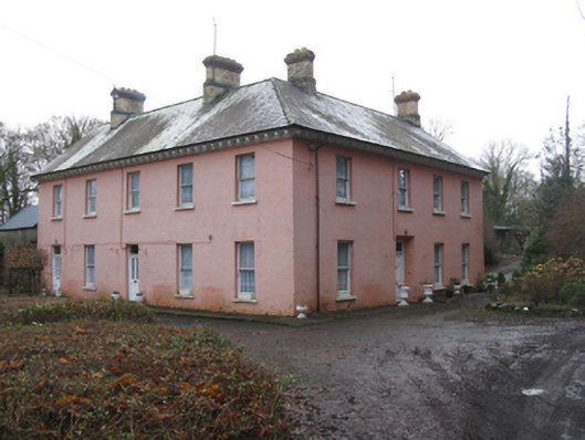 Glen Lodgefarm house · 408 yd
 Quignamanger National Schoolschool · 1252 yd
 Rinphilip PointHeadland · 1508 yd
 FloretteWreck · 1543 yd
 Belleek WoodsWood · 1.0 mi
 Castleconnor (in Ruins)Castle, hall-house · 1.1 mi
 Enclosure in QuignaleckaEnclosure · 1.1 mi
 Knox Gore MonumentMonument · 1.1 mi
 The Marshall Doran CollectionGallery · 1.2 mi
 HawthornHawthorn · 1.7 mi
 Rosserk AbbeyHeritage attraction · 1.9 mi
 Belleck CastleCastle, unclassified · 1.9 mi