What is recorded here
Fairy forts are human places misnamed, often by people who stopped asking questions. In Farranadoony the ring measured about twenty-five metres across, with an earthen bank at one side and a cut fosse at the other, and a narrow ramp entrance at the northeast. It stood on a rise toward the bottom of a slope, small enough to belong to one household or one local decision, large enough to exclude everyone else. By 2000 the visible monument had gone, leaving behind a name, a shape remembered in numbers, and the ordinary cruelty of forgetting.
Located on a rise towards the bottom of a NE-facing slope. This was described in 1969 (SMR file) as a circular overgrown area (diam. 25.5m NW-SE; 25m NE-SW) defined by an earthen bank (Wth of base 5.5m; int. H 0.3m; ext. H 1.1m) at S but largely by a fosse (at N: Wth of top 4m; Wth of base 1.5m; int. D 1m; ext. D 0.2m), except where the perimeter had been removed SW-NW. The ramp entrance (Wth of base 1.9m) was at NE. The visible monument had been removed by 2000 (OSAP).
The above description is derived from the published 'Archaeological Inventory of County Meath' (Dublin: Stationery Office, 1987). In certain instances the entries have been revised and updated in the light of recent research.
Compiled by: Michael Moore
Date of revision: 22 February 2019
The monument record does not grant public access. Check the route and ask the landowner before entering private land.
- What survives
- Recorded monument
Places near here
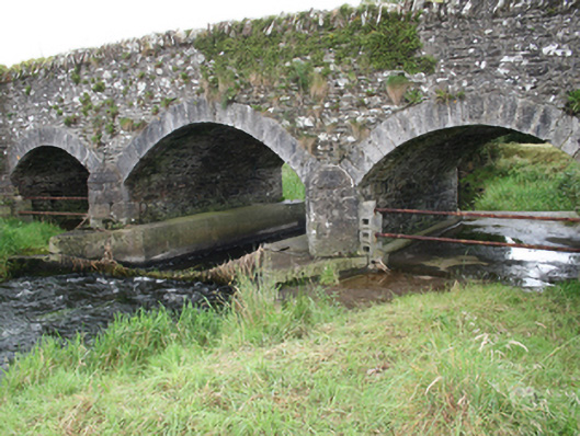 Mullagh Bridgebridge · 1302 yd
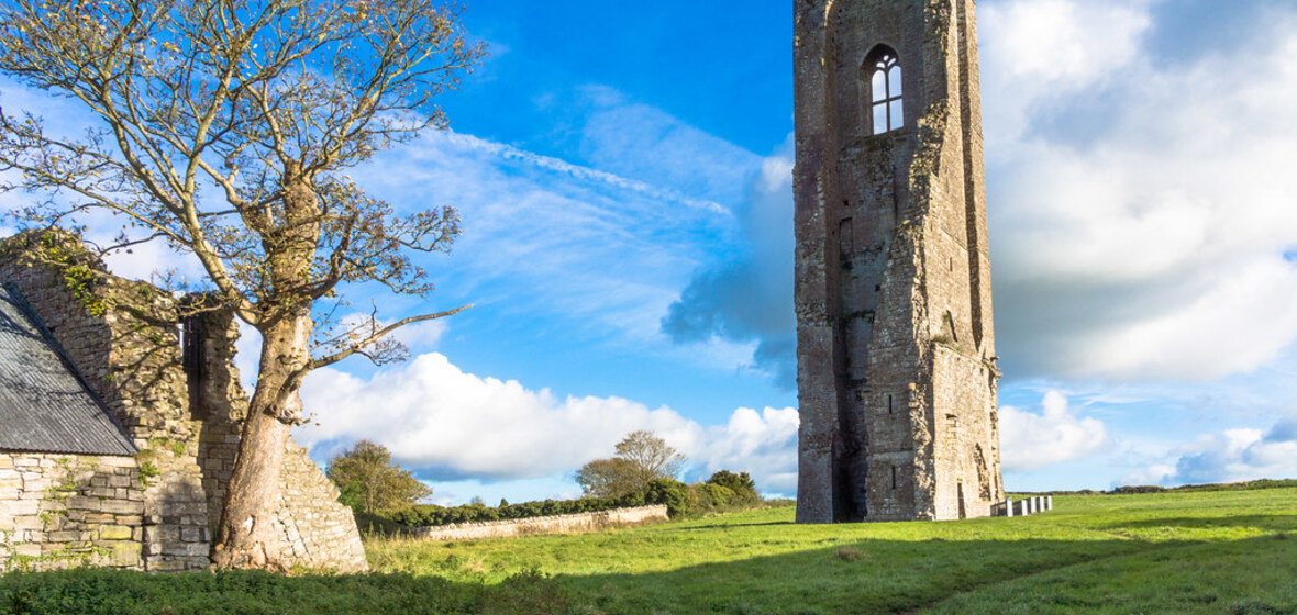 IndicatedEnclosure · 1353 yd
 Enclosure in ShancarnanEnclosure · 1414 yd
 Cherrymountcountry house · 1483 yd
 Moynalty Steam Threshing MuseumMuseum · 1.3 mi
 Sawpit WoodWood · 1.3 mi
 Grandgate WoodWood · 1.3 mi
 CastleCastle, unclassified · 1.5 mi
 MaperathMountain / peak · 1.9 mi
 Castle (in Ruins)Castle, unclassified · 2.1 mi
 MountainpoleMountain / peak · 2.8 mi
 The Kieran Flanagan WayMemorial · 3.9 mi