What is recorded here
Magic and myth are not the same. Clear the stones and a rare double-ring fort appears, not a fairy tale.
In pasture, atop natural rise. Slightly raised circular area (26m E-W; 25.5m N-S) enclosed by low earthen bank (int. H 0.1m; ext. H 0.2m) in parts; intervening fosse (D 0.45m); outer bank (H 0.1m) and external fosse (D 0.7m), truncated SE->SSW by field boundary. Outside external fosse to W is depression containing field clearance stones; to NW is possible third bank (H 0.5m) containing many small stones, probably field clearance material. Inner bank and interior quarried for rock S->SSW; interior broken in parts by rock outcrop. Claidh Dubh (CO018-001---) c. 200m to SW.
The above description is derived from the published 'Archaeological Inventory of County Cork. Volume 4: North Cork' (Dublin: Stationery Office, 2000). In certain instances the entries have been revised and updated in the light of recent research.
Date of upload/revision: 14 January 2009
The monument record does not grant public access. Check the route and ask the landowner before entering private land.
- What survives
- Recorded monument
Places near here
 Ruane Castle (Site of)Castle, unclassified · 1128 yd
 Cist in Shanballymore UpperCist · 1450 yd
 gates/railings/wallsgates/railings/walls · 1537 yd
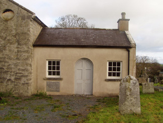 Saint Colman's Church of Ireland Churchschool · 1635 yd
 Grave YardGraveyard · 1665 yd
 Horse Field WoodForest · 1730 yd
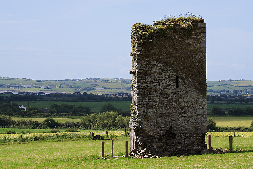 Farahy Castle (in Ruins)Castle, unclassified · 1.1 mi
 North Meadow WoodForest · 1.2 mi
 Anne's Grove GardensHeritage attraction · 2.5 mi
 Flat cemetery in Ballyenahan NorthFlat cemetery · 2.5 mi
 Coolfree MountainMountain / peak · 4.4 mi
 CarrigeenamronetyMountain / peak · 4.5 mi