What is recorded here
Farahy held a thirty-metre earthen ring on a gentle south-facing slope before ploughs and feet erased it. The 1842 survey captured its circular shadow, but the land has since forgotten the shape. It may have been a home, a boundary marker, or a child playground for the neighborhood. Now only the memory of a hole remains in the pasture.
In pasture, on gentle S-facing slope. Depicted as hachured circular enclosure (diam. c. 30m) on 1842 OS 6-inch map. Levelled; no visible surface trace.
The above description is derived from the published 'Archaeological Inventory of County Cork. Volume 4: North Cork' (Dublin: Stationery Office, 2000). In certain instances the entries have been revised and updated in the light of recent research.
Date of upload/revision: 14 January 2009
The monument record does not grant public access. Check the route and ask the landowner before entering private land.
- What survives
- Recorded monument
Places near here
 Bowen's Courtgates/railings/walls · 543 yd
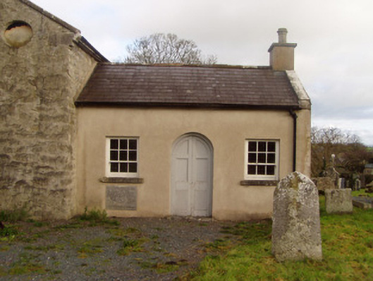 Saint Colman's Church of Ireland Churchschool · 1213 yd
 Grave YardGraveyard · 1251 yd
 Horse Field WoodForest · 1278 yd
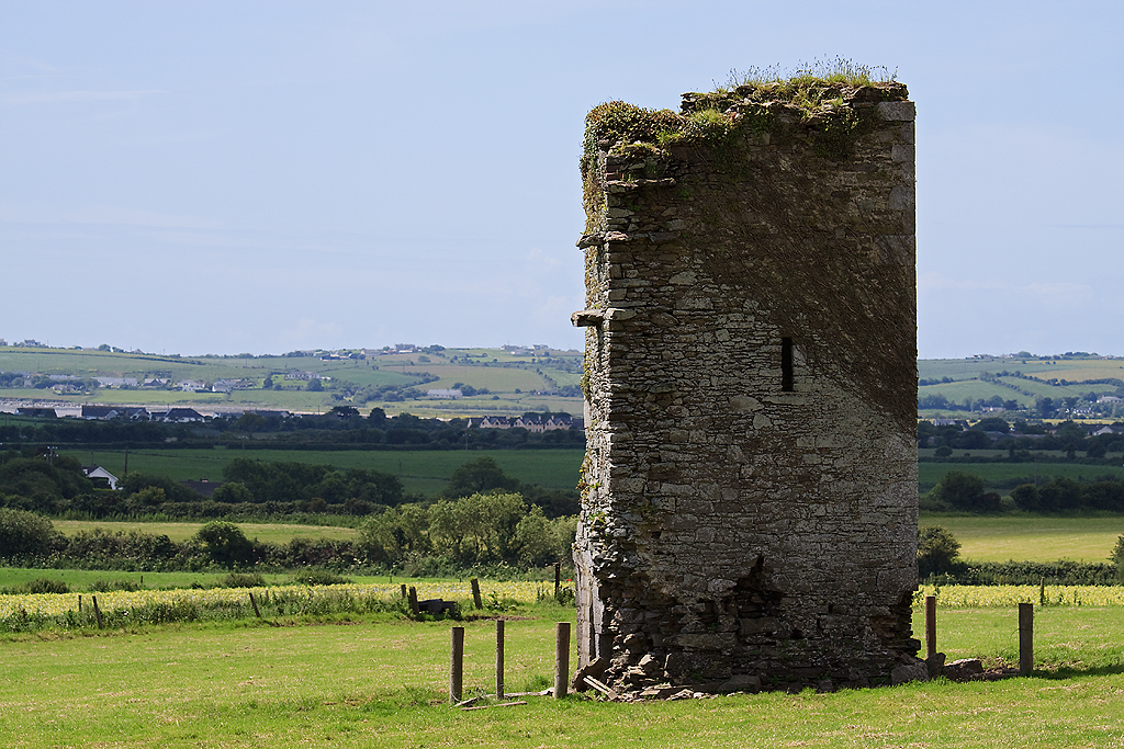 Farahy Castle (in Ruins)Castle, unclassified · 1467 yd
 North Meadow WoodForest · 1561 yd
 Ruane Castle (Site of)Castle, unclassified · 1580 yd
 IndicatedFairy fort / earthen ringfort · 1.1 mi
 Flat cemetery in Ballyenahan NorthFlat cemetery · 2.4 mi
 Anne's Grove GardensHeritage attraction · 2.7 mi
 Coolfree MountainMountain / peak · 4.2 mi
 CarrigeenamronetyMountain / peak · 4.3 mi