What is recorded here
In level pasture. Named 'Fort' on the 1837 ed. of the OS 6-inch map. A report in 1976 (SMR file) recorded a raised subcircular area (c. 32m E-W; c. 30m N-S) enclosed by a substantial bank of earth and stone with a wide, shallow, partly waterlogged external fosse. The original entrance was not recognisable. The monument has since been levelled and only its outline, marked by a low, irregular scarp (H 0.3m), is identifiable.
Compiled by: Patrick F. O'Donovan
Date of upload: 26 August 2011
A fairy fort or earthen ringfort in Faghey is a likely early-medieval agricultural settlement, characterized by a subcircular enclosure with a bank and ditch. The site's name and setting reflect local folklore associating such forts with supernatural or otherworldly beings.
The monument record does not grant public access. Check the route and ask the landowner before entering private land.
- What survives
- Recorded monument
Places near here
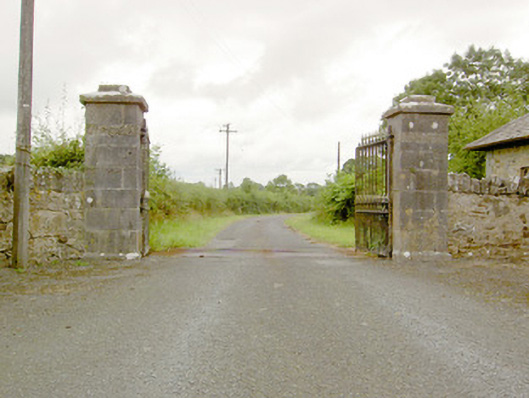 Lismoy Housegates/railings/walls · 1036 yd
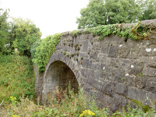 bridgebridge · 1067 yd
 Enclosure in MinardEnclosure · 1185 yd
 IndicatedFairy fort / earthen ringfort · 1469 yd
 Pedunculate OakPedunculate Oak · 1.2 mi
 Common LimeCommon Lime · 1.2 mi
 CastleforbesCastle · 1.5 mi
 Bawn in Castleforbes DemesneBawn · 1.6 mi
 Saint Mel's CathedralCathedral · 2.4 mi
 First World War MemorialMemorial · 2.4 mi
 Graveyard in Curry (ardagh By., Coolamber Ed)Graveyard · 4.8 mi
 Commons North WalkVisitor information · 9.3 mi