What is recorded here
The earthen ringfort in Facefield, County Mayo, is a substantial raised circle with an entrance gap and external fosse, yet it appeared on maps only decades after human records began drawing them. The bank is thick enough to swallow a cart wheel and the interior remains level beneath grass, suggesting people lived there long before surveyors thought the shape worth marking. The field fence later followed its arc instead of cutting through it, which means the fort still teaches the land how to bend.
In pasture, located on a slight rise in gently undulating terrain, with good views, especially to W–NW.
Not indicated on the 1838 OS 6-inch map but shown on the 1920 edition. Raised, roughly circular area (33.5m NE–SW; 37m NW–SE) defined by a substantial earthen bank (at SW: Wth 6-6.5m; int. H 0.2m; ext. H 2.4m), with an external fosse evident as a slight depression at ESE–SE. An ephemeral rise outside the fosse may indicate a levelled external bank.
At NW–N the bank is incorporated into a later field fence, which respects its arc. Two roughly circular depressions (diam. 4-6m), probably the result of past quarrying are located more or less on the line of the fosse at NNE–NE.
The rath interior is level, with traces of cultivation ridges on a N–S axis. There is an entrance gap (Wth 2.2m) at ESE, with well-defined bank terminals, a slightly ramped access slope, and a hint of a possible causeway across the fosse.
Grass cover in the interior; the perimeter is thickly ringed with gorse, interspersed with a few hawthorn trees.
Compiled by: Jane O’Shaughnessy
Date of upload: 7 February 2022
The monument record does not grant public access. Check the route and ask the landowner before entering private land.
- What survives
- Recorded monument
Places near here
 Enclosure in BreesEnclosure · 720 yd
 CastleCastle, ringwork · 741 yd
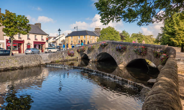 IndicatedFairy fort / earthen ringfort · 1652 yd
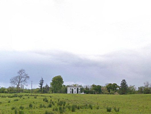 Cloonboy Housefarm house · 1.2 mi
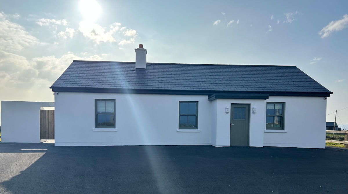 Bawn in KnockaunakillBawn · 1.6 mi
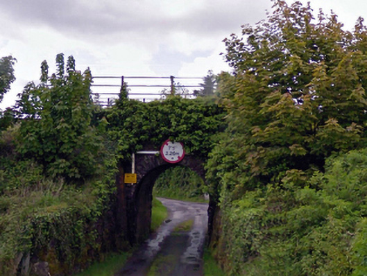 bridgebridge · 2.0 mi
 Carrowbeg WoodWood · 3.8 mi
 Land of the GiantsHeritage attraction · 5.1 mi
 Kiltimagh MuseumMuseum · 5.4 mi
 I'll Send You The FareMemorial · 5.4 mi
 Geoffrey's WoodForest · 7.1 mi
 Cow IslandIslet · 10 mi