What is recorded here
In pasture, located on a slight rise in gently undulating terrain, with good views, especially to W–NW.
Not indicated on the 1838 OS 6-inch map but shown on the 1920 edition. Raised, roughly circular area (33.5m NE–SW; 37m NW–SE) defined by a substantial earthen bank (at SW: Wth 6-6.5m; int. H 0.2m; ext. H 2.4m), with an external fosse evident as a slight depression at ESE–SE. An ephemeral rise outside the fosse may indicate a levelled external bank.
At NW–N the bank is incorporated into a later field fence, which respects its arc. Two roughly circular depressions (diam. 4-6m), probably the result of past quarrying are located more or less on the line of the fosse at NNE–NE.
The rath interior is level, with traces of cultivation ridges on a N–S axis. There is an entrance gap (Wth 2.2m) at ESE, with well-defined bank terminals, a slightly ramped access slope, and a hint of a possible causeway across the fosse.
Grass cover in the interior; the perimeter is thickly ringed with gorse, interspersed with a few hawthorn trees.
Compiled by: Jane O’Shaughnessy
Date of upload: 7 February 2022
The monument record does not grant public access. Check the route and ask the landowner before entering private land.
- What survives
- Recorded monument
Places near here
 Enclosure in BreesEnclosure · 720 yd
 CastleCastle, ringwork · 741 yd
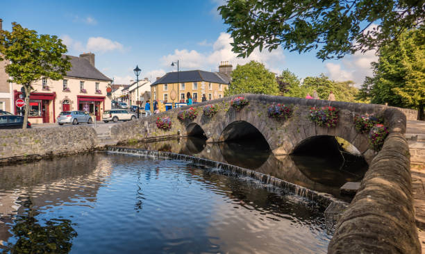 IndicatedFairy fort / earthen ringfort · 1652 yd
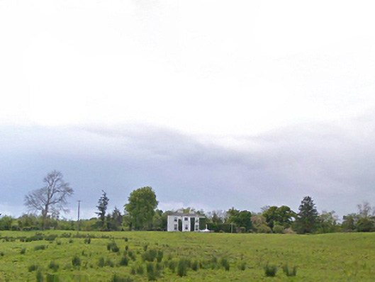 Cloonboy Housefarm house · 1.2 mi
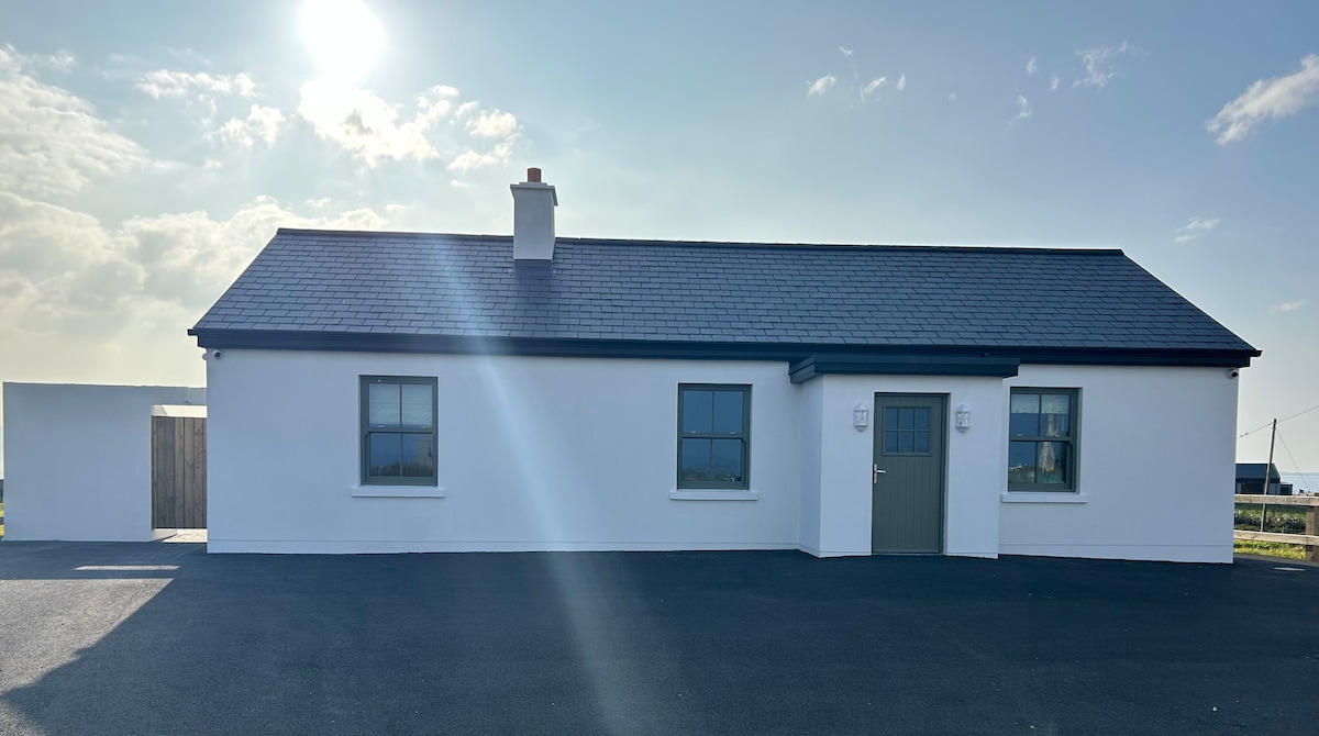 Bawn in KnockaunakillBawn · 1.6 mi
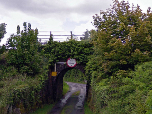 bridgebridge · 2.0 mi
 Carrowbeg WoodWood · 3.8 mi
 Land of the GiantsHeritage attraction · 5.1 mi
 Kiltimagh MuseumMuseum · 5.4 mi
 I'll Send You The FareMemorial · 5.4 mi
 Geoffrey's WoodForest · 7.1 mi
 Cow IslandIslet · 10 mi