What is recorded here
Enagh holds a hidden ringfort on a drumlin spine, visible only on an old estate map rather than in the grass. The land swallowed the stones and borders, leaving behind a ghost shape that challenges modern sight.
Located towards the bottom of the S-facing spine of a small N-S drumlin ridge. A circular enclosure is depicted on a map of the Glaslough estate in Monaghan County Museum. No archaeological feature is visible at ground level in pasture.
The above description is derived from the published 'Archaeological Inventory of County Monaghan' (Dublin: Stationery Office, 1986). In certain instances the entries have been revised and updated in the light of recent research.
Date of revision: 14 July 2017
The monument record does not grant public access. Check the route and ask the landowner before entering private land.
- What survives
- Recorded monument
Places near here
 Fulacht fia in TirnaneillFulacht fia · 368 yd
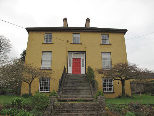 Legacurry Househouse · 1165 yd
 Enclosure in Drumcaw (trough By.)Enclosure · 1255 yd
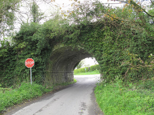 bridgebridge · 1332 yd
 The Nut WoodForest · 1.7 mi
 Liscarney WoodWood · 1.9 mi
 Monaghan County MuseumMuseum · 2.2 mi
 Rossmore MonumentMemorial · 2.5 mi
 Bawn in Roosky (monaghan By., Monaghan Par.)Bawn · 2.5 mi
 Banba GiantHeritage attraction · 3.8 mi
 Castleshane WaterfallWaterfall · 4.9 mi
 Rough HillMountain / peak · 5.0 mi