
What is recorded here
Situated in a relatively low-lying position in an undulating landscape with drumlins. Archaeological testing (12E0068) in advance of an improvement of the N2 Monaghan to Emyvale road identified a burnt mound in two of spreads of broken and burnt stones ((dims 3m x 1.1m; T 0.15m: diam. 0.7m) and a small pit (diam. 1m; D 0.13m) filled with the same material. It was resolved under the same licence and sample of hazel charcoal produced a C14 date of 3073 +- 30 (1415-1266 cal. BC) (O’Hara 2012a, 6, 18)
Compiled by: Michael Moore
Date of upload: 21 January 2020
O’Hara, R. 2012a N2 Monaghan to Emyvale Road Improvement Scheme. Stage 1, Stage 2. Licence No. 12E0068. Unpublished report, Archer Heritage Planning
The monument record does not grant public access. Check the route and ask the landowner before entering private land.
- What survives
- Recorded monument
Places near here
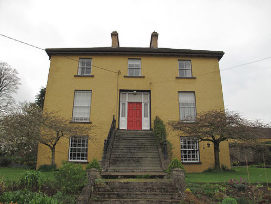 Legacurry Househouse · 1120 yd
 Enclosure in Drumcaw (trough By.)Enclosure · 1371 yd
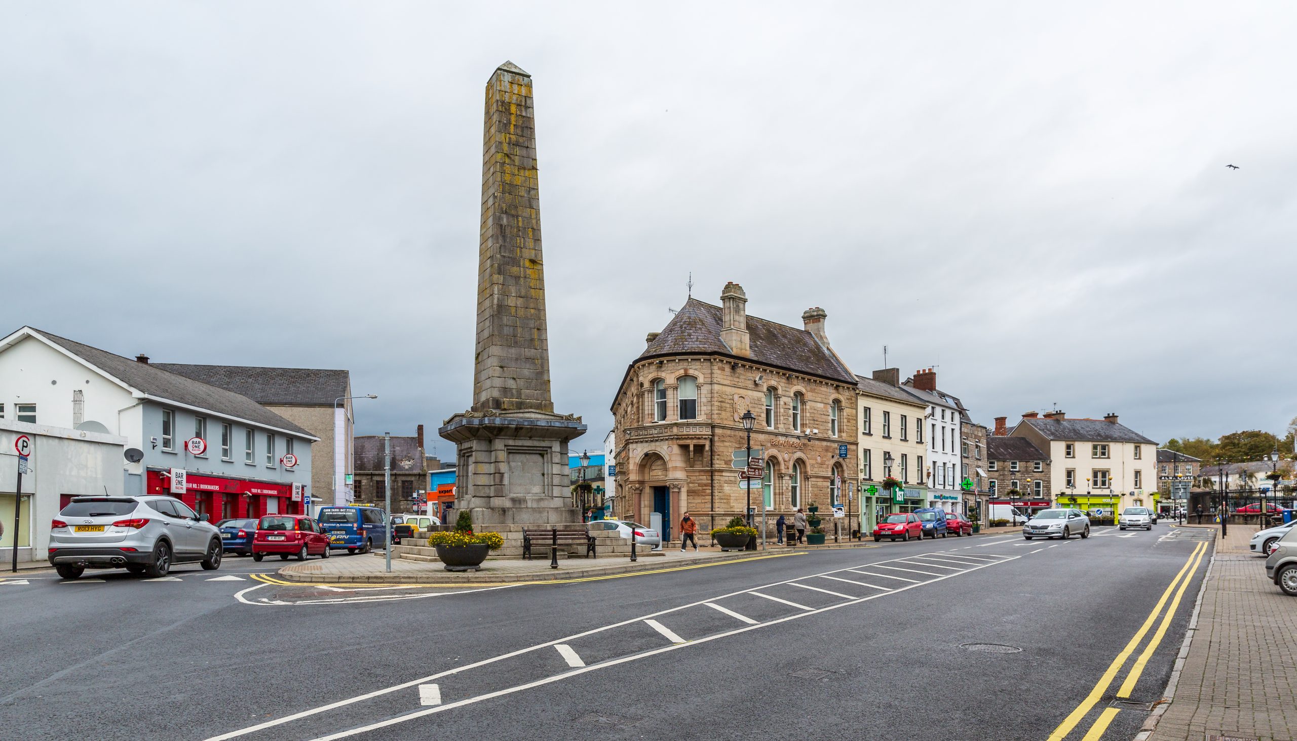 Fulacht fia in Drumcaw (trough By.)Fulacht fia · 1375 yd
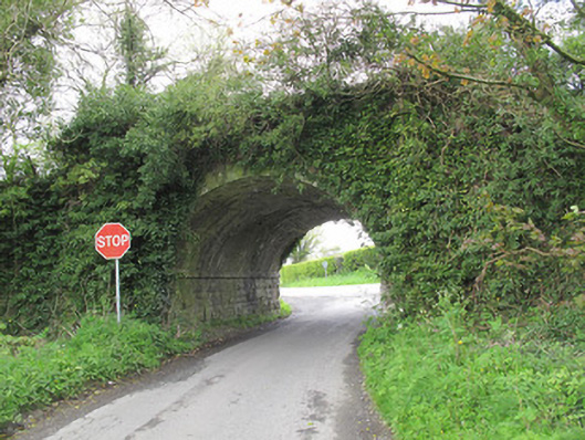 bridgebridge · 1661 yd
 The Nut WoodForest · 1.8 mi
 Liscarney WoodWood · 2.0 mi
 Monaghan County MuseumMuseum · 2.2 mi
 Rossmore MonumentMemorial · 2.4 mi
 Bawn in Roosky (monaghan By., Monaghan Par.)Bawn · 2.4 mi
 Banba GiantHeritage attraction · 3.7 mi
 Rough HillMountain / peak · 4.8 mi
 Castleshane WaterfallWaterfall · 5.0 mi
Other information
Photo: Credit not shown in the picture search · Rights wording not checked; contact us if this picture should be removed