What is recorded here
A modern field fence bit through the eastern edge of the fort, but the western curve still stands as a thirty-five-metre semicircle of earth and stone. The bank rises one metre outside and drops to half a metre inside, creating a shallow bowl rather than a deep pit. People may have lived there before roads and fences rearranged the land, yet the flat upland setting preserves more of its shape than most buried ruins.
Situated on flat land in upland area. E side of site is destroyed by modern field fence. Semicircular raised area (diam 35m N-S) enclosed by earth and stone bank (Wth 3m; int. H 0.5m; ext. H 1m) with no evidence of an external fosse or entrance feature. Depicted as semicircular enclosure on the 1912 edition of the OS 6-inch map.
The above description is derived from the published 'Archaeological Inventory of County Offaly' (Dublin: Stationery Office, 1997). In certain instances the entries have been revised and updated in the light of recent research.
Date of upload: 23 May 2011
The monument record does not grant public access. Check the route and ask the landowner before entering private land.
- What survives
- Recorded monument
Places near here
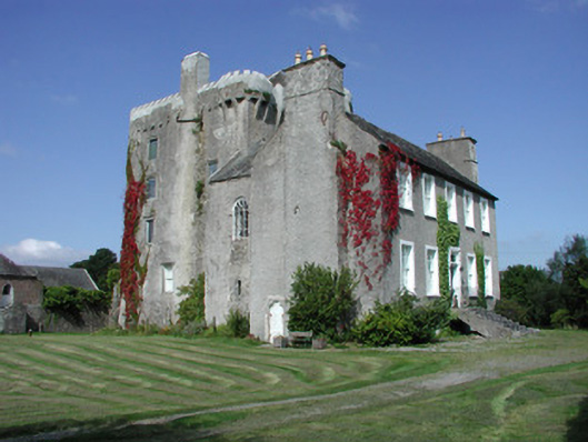 Emmel Castlecountry house · 670 yd
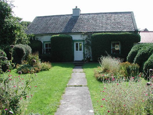 Mill Farmfarm house · 751 yd
 IndicatedFairy fort / ringfort · 803 yd
 Megalithic tomb in Gorraun (clonlisk By.)Megalithic tomb · 1043 yd
 Thomas MacDonagh Heritage CentreMuseum · 2.0 mi
 CastleCastle, tower house · 2.0 mi
 MacDonagh HouseMemorial · 2.0 mi
 Bawn in BehernaghBawn · 2.2 mi
 Knockanacree WoodForest · 2.8 mi
 Ballycapple WoodForest · 3.2 mi
 James Devaney MemorialMemorial · 5.1 mi
 BenduffMountain / peak · 5.4 mi