
What is recorded here
Situated on a slight rise in undulating countryside. Raised irregular shaped area (diam. 25m) enclosed by a poorly preserved bank (Wth 2m; ext. H 1m) reduced to a scarp in places with outer fosse (Wth 3m; ext. D 0.6m) at NW only, no evidence of an entrance feature. Field fence intersects outer defences of site at E. Presence of beech trees along perimeter of site and close proximity to Emmel House and its depiction on the current edition of the OS 6-inch map suggest that this may have been a landscape featue such as a tree-ring, may have been a ringfort reused as a tree-ring.
The above description is derived from the published 'Archaeological Inventory of County Offaly' (Dublin: Stationery Office, 1997). In certain instances the entries have been revised and updated in the light of recent research.
Date of upload: 23 May 2011
The monument record does not grant public access. Check the route and ask the landowner before entering private land.
- What survives
- Recorded monument
Places near here
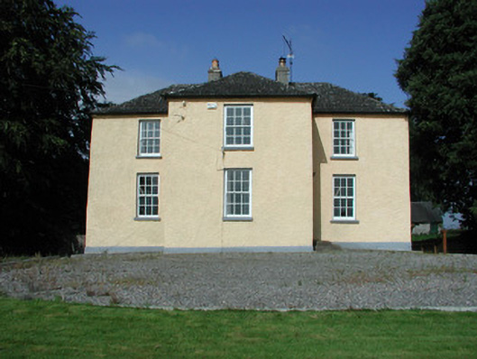 Templeharry Rectoryrectory/glebe/vicarage/curate's house · 473 yd
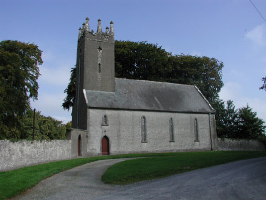 Templeharry Churchchurch/chapel · 478 yd
 Fulacht fia in Ballintemple (clonlisk By.)Fulacht fia · 1272 yd
 Megalithic tomb in Gorraun (clonlisk By.)Megalithic tomb · 1484 yd
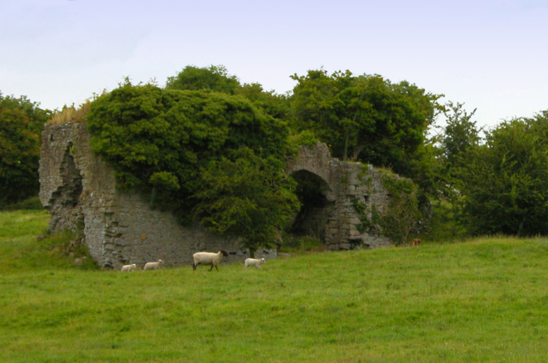 Bawn in CullenwaineBawn · 1.9 mi
 Bawn in BehernaghBawn · 2.3 mi
 Thomas MacDonagh Heritage CentreMuseum · 2.4 mi
 MacDonagh HouseMemorial · 2.4 mi
 Knockanacree WoodForest · 3.2 mi
 Ballycapple WoodForest · 3.6 mi
 BenduffMountain / peak · 5.0 mi
 James Devaney MemorialMemorial · 5.3 mi
Other information
Photo: Credit not shown in the picture search · Rights wording not checked; contact us if this picture should be removed