What is recorded here
Clear water flows through Edergole, but the fort has disappeared from human memory. This is not a warning about danger. It is a reminder that Edergole is not complete in the visitor's mind. The missing part is the one that makes the difference.
Raised circular area (int. diam. 47m) enclosed by a bank and a fosse which have been modernised and incorporated into the field boundary. Original entrance not recognisable. Internal area has been planted with trees.
The above description is derived from the published 'Archaeological Inventory of County Cavan' (Dublin: Stationery Office, 1995). In certain instances the entries have been revised and updated in the light of recent research.
Date of upload/revision: 22 December 2008
The monument record does not grant public access. Check the route and ask the landowner before entering private land.
- What survives
- Recorded monument
Places near here
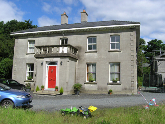 presbytery/parochial/curate's housepresbytery/parochial/curate's house · 499 yd
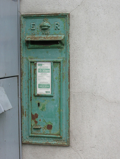 post boxpost box · 675 yd
 Foundation Stone Blessed by Pope John Paul II 1979Memorial · 761 yd
 To The Memory of P.J. DukeMemorial · 1261 yd
 Killymeehan ForestForest · 1277 yd
 Enclosure in KilnagarbetEnclosure · 1377 yd
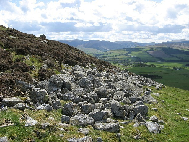 Black FortFairy fort / earthen ringfort · 1684 yd
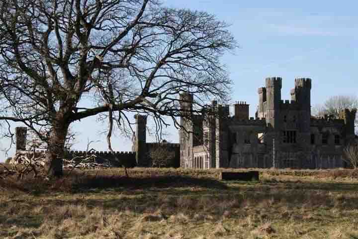 RavenswoodForest · 1.6 mi
 CliffernaMountain / peak · 3.0 mi
 Aghalackan EastMountain / peak · 3.2 mi
 Raven's RockNamed rock · 4.3 mi
 Site of Old CastleCastle, unclassified · 5.3 mi